File:LandkreisAnsbach.png
Jump to navigation
Jump to search


Size of this preview: 636 × 600 pixels. Other resolutions: 254 × 240 pixels | 509 × 480 pixels | 814 × 768 pixels | 1,024 × 966 pixels.
Original file (1,024 × 966 pixels, file size: 1.2 MB, MIME type: image/png)
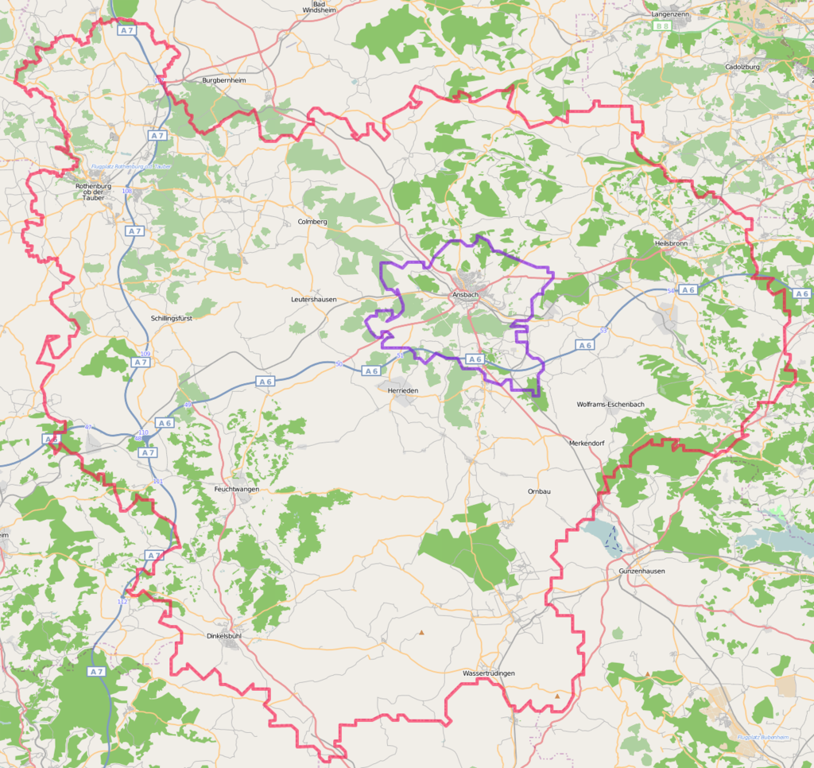
Map of the of the Landkreis Ansbach. Created from a screenshot of the OSM Relation Analyzer (Relation 17630) (see http://betaplace.emaitie.de/webapps.relation-analyzer/analyze.jsp?relationId=17630)
Licensing
![]()
Contains map data © OpenStreetMap contributors, made available under the terms of the Creative Commons Attribution-ShareAlike 2.0 (CC-BY-SA-2.0).
File history
Click on a date/time to view the file as it appeared at that time.
| Date/Time | Thumbnail | Dimensions | User | Comment | |
|---|---|---|---|---|---|
| current | 18:00, 21 November 2008 | | 1,024 × 966 (1.2 MB) | Rosty (talk | contribs) |
You cannot overwrite this file.
File usage
There are no pages that use this file.