File:LanduseApiarySwitzerland.jpg
Jump to navigation
Jump to search


Size of this preview: 800 × 600 pixels. Other resolutions: 320 × 240 pixels | 640 × 480 pixels | 1,024 × 768 pixels | 1,296 × 972 pixels.
Original file (1,296 × 972 pixels, file size: 285 KB, MIME type: image/jpeg)
Summary
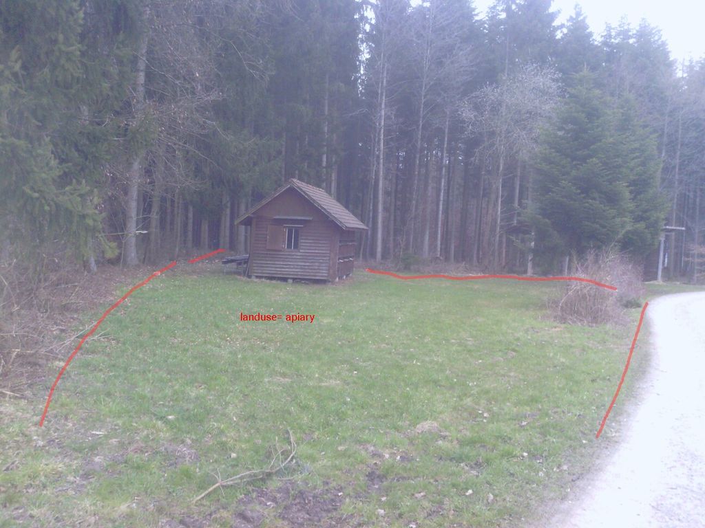
This picture shows an Apiary (Bienenhause) in Switzerland. The tag landuse=apiary for the red marked area is according to the proposal http://wiki.openstreetmap.org/wiki/Proposed_features/apiary
Licensing
![]()
This file has been released into the public domain by the copyright holder, its copyright has expired, or it is ineligible for copyright. This applies worldwide.
Please, please use more specific template such as {{PD-self}} / {{PD-creator}} / {{PD-shape}} / {{PD-USGov}} / {{PD-old}} / {{PD-RU-exempt}} ... This template is not making clear why this work is in the public domain.
Please, please use more specific template such as {{PD-self}} / {{PD-creator}} / {{PD-shape}} / {{PD-USGov}} / {{PD-old}} / {{PD-RU-exempt}} ... This template is not making clear why this work is in the public domain.
File history
Click on a date/time to view the file as it appeared at that time.
| Date/Time | Thumbnail | Dimensions | User | Comment | |
|---|---|---|---|---|---|
| current | 18:02, 26 March 2013 | | 1,296 × 972 (285 KB) | Dominicjkeller (talk | contribs) | Reverted to version as of 18:00, 26 March 2013 |
| 18:01, 26 March 2013 |  | 2,592 × 1,944 (1.36 MB) | Dominicjkeller (talk | contribs) | Original File | |
| 18:00, 26 March 2013 |  | 1,296 × 972 (285 KB) | Dominicjkeller (talk | contribs) | This picture shows an Apiary (Bienenhause) in Switzerland. The tag landuse=apiary for the red marked area is according to the proposal http://wiki.openstreetmap.org/wiki/Proposed_features/apiary |
You cannot overwrite this file.
File usage
The following page uses this file: