File:Luftbild-2-originalprojektion-comparison.jpg
Jump to navigation
Jump to search


Size of this preview: 512 × 599 pixels. Other resolutions: 205 × 240 pixels | 410 × 480 pixels | 656 × 768 pixels | 1,072 × 1,254 pixels.
Original file (1,072 × 1,254 pixels, file size: 187 KB, MIME type: image/jpeg)
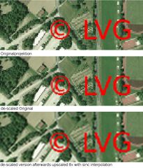
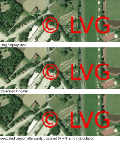
comparison of different scaling methods of upper palatinate imagery
File history
Click on a date/time to view the file as it appeared at that time.
| Date/Time | Thumbnail | Dimensions | User | Comment | |
|---|---|---|---|---|---|
| current | 19:16, 13 January 2009 | | 1,072 × 1,254 (187 KB) | Bmwiedemann (talk | contribs) | Reihenfolge umgekehrt, Ausschnitt korrigiert |
| 15:46, 13 January 2009 | 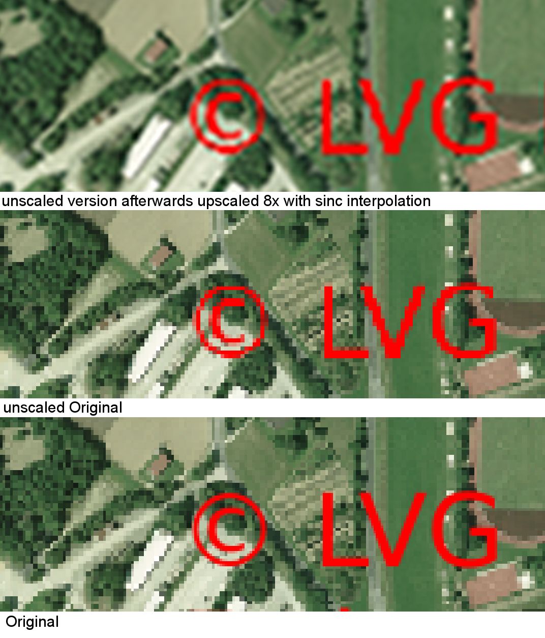 | 1,072 × 1,254 (187 KB) | Bmwiedemann (talk | contribs) | comparison of different scaling methods of upper palatinate imagery |
You cannot overwrite this file.
File usage
The following 2 pages use this file: