File:Lys i Kolding - 4 maj 2010 cutout.png
Jump to navigation
Jump to search


Size of this preview: 499 × 599 pixels. Other resolutions: 200 × 240 pixels | 400 × 480 pixels | 640 × 768 pixels | 853 × 1,024 pixels | 1,764 × 2,118 pixels.
Original file (1,764 × 2,118 pixels, file size: 765 KB, MIME type: image/png)
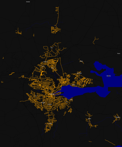
Light in Kolding, Denmark - Made with Kosmos, using "Bahnpirat/Let there be light" rules. OSM data extracted d. 4 may 2010.
Map of Kolding
This map and others like it, were created by OpenStreetmap contributors, and are licensed as Creative Commons CC-BY-SA 2.0 (https://creativecommons.org/licenses/by-sa/2.0/) (see OpenStreetMap licence).
Use {{mapof|PlaceName}} to add this template to your images.
This map and others like it, were created by OpenStreetmap contributors, and are licensed as Creative Commons CC-BY-SA 2.0 (https://creativecommons.org/licenses/by-sa/2.0/) (see OpenStreetMap licence).
Use {{mapof|PlaceName}} to add this template to your images.
File history
Click on a date/time to view the file as it appeared at that time.
| Date/Time | Thumbnail | Dimensions | User | Comment | |
|---|---|---|---|---|---|
| current | 13:29, 8 December 2010 | | 1,764 × 2,118 (765 KB) | Winbladh (talk | contribs) | Updated 8. december 2010, where all adressegiven roads have been maped in Kolding |
| 05:38, 5 May 2010 | 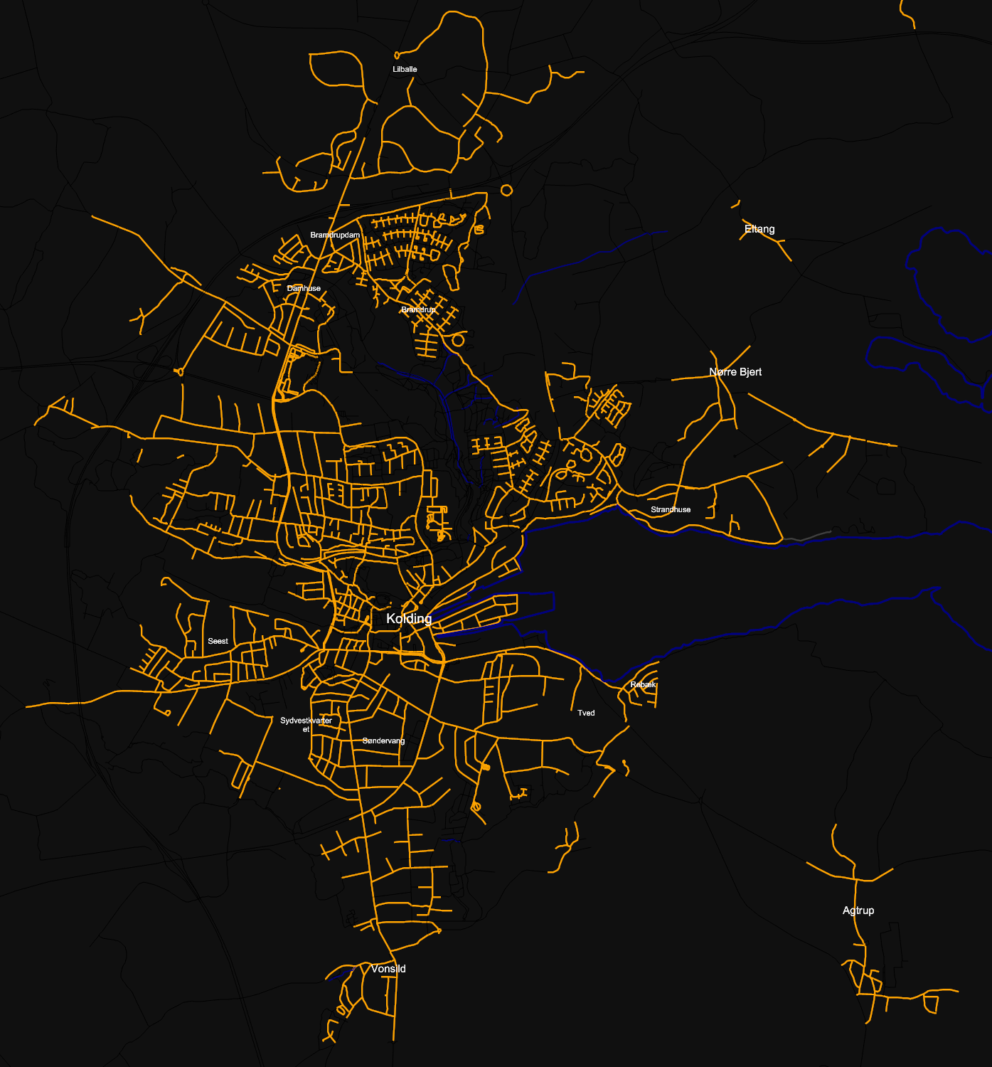 | 1,395 × 1,500 (504 KB) | Winbladh (talk | contribs) | Lights in Kolding, updated later at night. | |
| 09:13, 4 May 2010 | 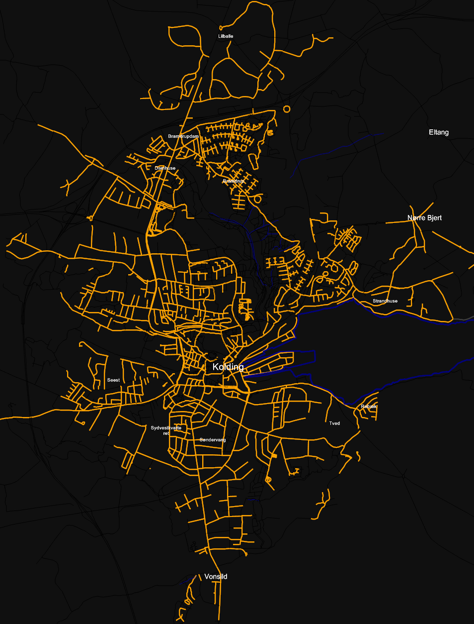 | 954 × 1,254 (364 KB) | Winbladh (talk | contribs) | Light in Kolding, Denmark - Made with Kosmos, using "Bahnpirat/Let there be light" rules. OSM data extracted d. 4 may 2010. {{mapof|Kolding}} |
You cannot overwrite this file.
File usage
The following page uses this file: