File:MA-town-vs-CMZ.png
Jump to navigation
Jump to search
Size of this preview: 783 × 599 pixels. Other resolutions: 314 × 240 pixels | 627 × 480 pixels | 1,003 × 768 pixels | 1,024 × 784 pixels.
Original file (1,024 × 784 pixels, file size: 124 KB, MIME type: image/png)
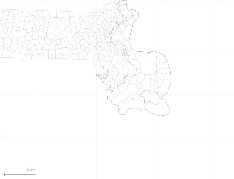
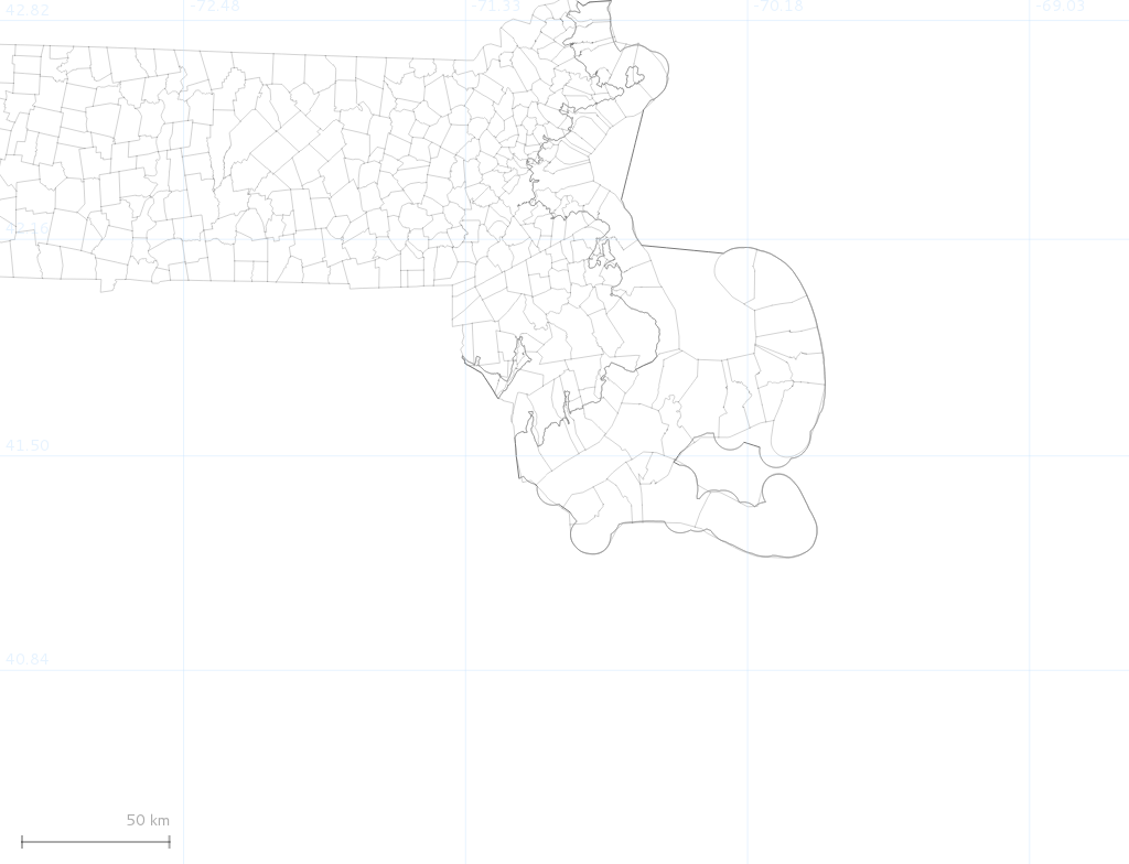
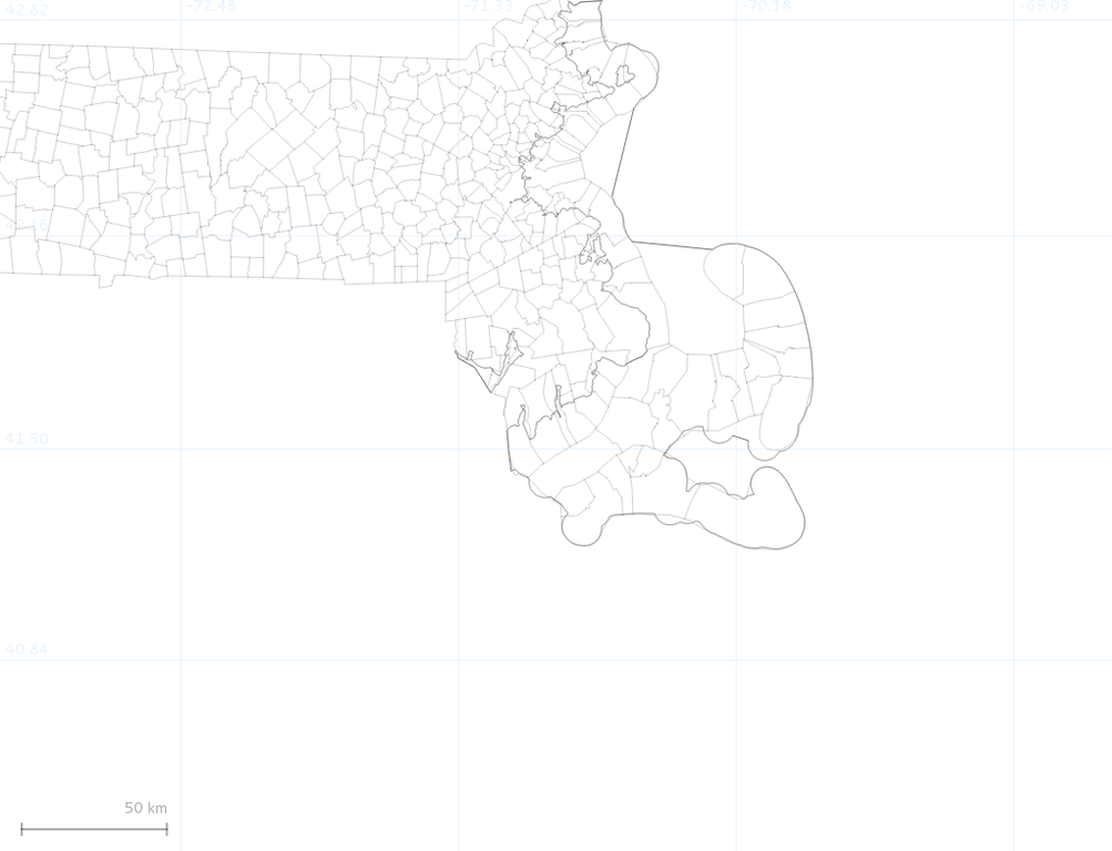
Boundary layer difference between CMZ MA and town boundary layer
File history
Click on a date/time to view the file as it appeared at that time.
| Date/Time | Thumbnail | Dimensions | User | Comment | |
|---|---|---|---|---|---|
| current | 21:58, 21 August 2012 | | 1,024 × 784 (124 KB) | Fiveisalive (talk | contribs) | Boundary layer difference between CMZ MA and town boundary layer |
You cannot overwrite this file.
File usage
The following page uses this file: