File:Maine-town-hierarchy-tiger-2014.png
Jump to navigation
Jump to search

No higher resolution available.
Maine-town-hierarchy-tiger-2014.png (474 × 520 pixels, file size: 40 KB, MIME type: image/png)
Summary
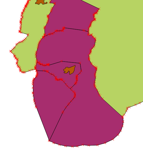
QGIS render of selected Tiger 2014 data. Distributed under whatever license TIGER is under (public domain)?
Licensing
![]()
.svg)
This work is in the public domain in the United States because it is a work of the United States Federal Government under the terms of Title 17, Chapter 1, Section 105 of the US Code. See Copyright.
Note: This only applies to works of the Federal Government and not to the work of any individual U.S. states, territory, commonwealth, county, municipality, or any other subdivision. This template also does not apply to postage stamp designs published by the United States Postal Service since 1978. (See 206.02(b) of Compendium II: Copyright Office Practices).
Note: This only applies to works of the Federal Government and not to the work of any individual U.S. states, territory, commonwealth, county, municipality, or any other subdivision. This template also does not apply to postage stamp designs published by the United States Postal Service since 1978. (See 206.02(b) of Compendium II: Copyright Office Practices).
https://en.wikipedia.org/wiki/Topologically_Integrated_Geographic_Encoding_and_Referencing TIGER data is available without cost because U.S. Government publications are required to be released into the public domain.
File history
Click on a date/time to view the file as it appeared at that time.
| Date/Time | Thumbnail | Dimensions | User | Comment | |
|---|---|---|---|---|---|
| current | 14:04, 15 October 2014 | | 474 × 520 (40 KB) | Ekidd (talk | contribs) | QGIS render of selected Tiger 2014 data. Distributed under whatever license TIGER is under (public domain)? |
You cannot overwrite this file.
File usage
The following page uses this file: