File:Manchester.png
Jump to navigation
Jump to search

Size of this preview: 710 × 600 pixels. Other resolutions: 284 × 240 pixels | 568 × 480 pixels | 1,005 × 849 pixels.
Original file (1,005 × 849 pixels, file size: 47 KB, MIME type: image/png)
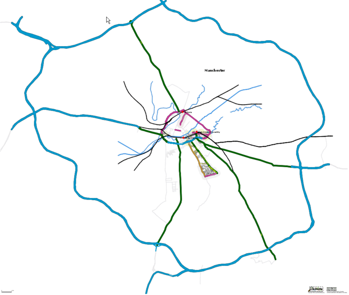
The extent of Manchester, UK mapping on OSM as of 6 April 2006. Pretty sparce. Roll on Mapchester!
![]()
Contains map data © OpenStreetMap contributors, made available under the terms of the Creative Commons Attribution-ShareAlike 2.0 (CC-BY-SA-2.0).
File history
Click on a date/time to view the file as it appeared at that time.
| Date/Time | Thumbnail | Dimensions | User | Comment | |
|---|---|---|---|---|---|
| current | 15:53, 17 May 2006 | | 1,005 × 849 (47 KB) | Blackadder (talk | contribs) | Updated M60 ring |
| 11:58, 6 April 2006 |  | 716 × 626 (34 KB) | Blackadder (talk | contribs) | The extent of Manchester, UK mapping on OSM as of 6 April 2006. Pretty sparce. Role on Mapchester |
You cannot overwrite this file.
File usage
The following page uses this file: