File:Manchester2.png
Jump to navigation
Jump to search

Size of this preview: 800 × 559 pixels. Other resolutions: 320 × 224 pixels | 640 × 448 pixels | 1,024 × 716 pixels | 1,164 × 814 pixels.
Original file (1,164 × 814 pixels, file size: 82 KB, MIME type: image/png)
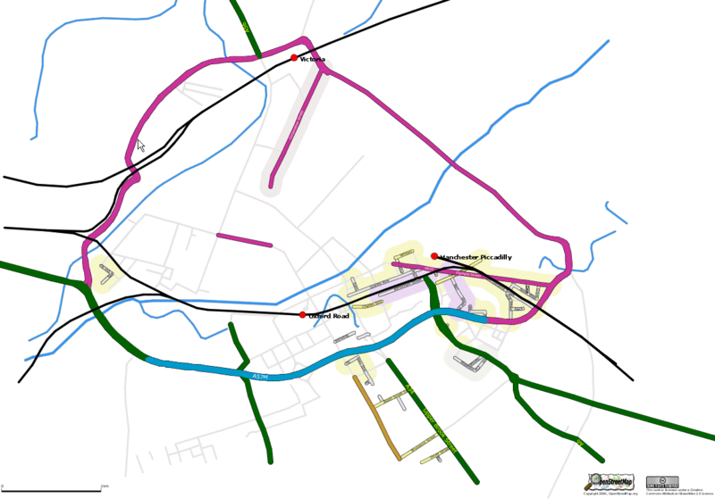
Centre of Manchester as at 17 May 06. A quick render just to see what we have. Still pretty sparce but most of the streets in the inner ring will be there shortly. Canals, rivers and railways plotted from 6-inch to 1 mile scale circa 1911 OS Map.
File history
Click on a date/time to view the file as it appeared at that time.
| Date/Time | Thumbnail | Dimensions | User | Comment | |
|---|---|---|---|---|---|
| current | 16:09, 17 May 2006 | | 1,164 × 814 (82 KB) | Blackadder (talk | contribs) | Smaller file & CC |
| 15:42, 17 May 2006 |  | 1,118 × 800 (247 KB) | Blackadder (talk | contribs) | Centre of Manchester as at 17 May 06. A quick render just to see what we have. Still pretty sparce but most of the streets in the inner ring will be there shortly. Canals, rivers and railways plotted from 6-inch to 1 mile scale circa 1911 OS Map. |
You cannot overwrite this file.
File usage
The following page uses this file: