File:ManchesterNewPopEdMiddle.png
Jump to navigation
Jump to search
Size of this preview: 600 × 599 pixels. Other resolutions: 240 × 240 pixels | 481 × 480 pixels | 652 × 651 pixels.
Original file (652 × 651 pixels, file size: 321 KB, MIME type: image/png)
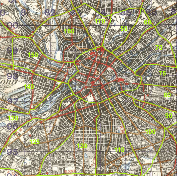
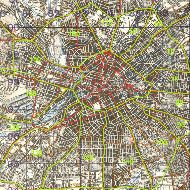
Manchester mapping areas - middle ring
File history
Click on a date/time to view the file as it appeared at that time.
| Date/Time | Thumbnail | Dimensions | User | Comment | |
|---|---|---|---|---|---|
| current | 12:20, 12 May 2006 | | 652 × 651 (321 KB) | Blackadder (talk | contribs) | Manchester mapping areas - middle ring |
You cannot overwrite this file.
File usage
The following page uses this file: