File:Metropolitano-tungasuca-ahora-v2.png
Jump to navigation
Jump to search
Size of this preview: 506 × 600 pixels. Other resolutions: 202 × 240 pixels | 519 × 615 pixels.
Original file (519 × 615 pixels, file size: 329 KB, MIME type: image/png)
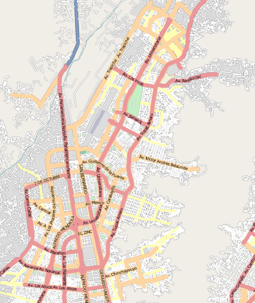
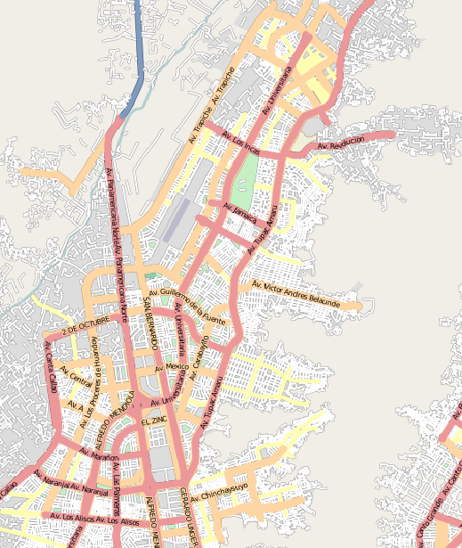
Estado del mapa luego de cartografiar la ruta del colector Tungasuca del Metropolitano. Fuente: http://www.gnewbook.org/pg/photos/view/101641/
![]()
Contains map data © OpenStreetMap contributors, made available under the terms of the Creative Commons Attribution-ShareAlike 2.0 (CC-BY-SA-2.0).
File history
Click on a date/time to view the file as it appeared at that time.
| Date/Time | Thumbnail | Dimensions | User | Comment | |
|---|---|---|---|---|---|
| current | 23:53, 1 July 2011 | | 519 × 615 (329 KB) | Ovruni (talk | contribs) | Estado del mapa luego de cartografiar la ruta del colector Tungasuca del Metropolitano. Fuente: http://www.gnewbook.org/pg/photos/view/101641/ |
You cannot overwrite this file.
File usage
The following page uses this file: