File:Nederlands verkeersbord G1.svg
Jump to navigation
Jump to search


Size of this PNG preview of this SVG file: 200 × 300 pixels. Other resolutions: 160 × 240 pixels | 320 × 480 pixels | 512 × 768 pixels | 682 × 1,024 pixels.
Original file (SVG file, nominally 200 × 300 pixels, file size: 2 KB)
This file and its description are from Wikimedia Commons.
Summary
| Description |
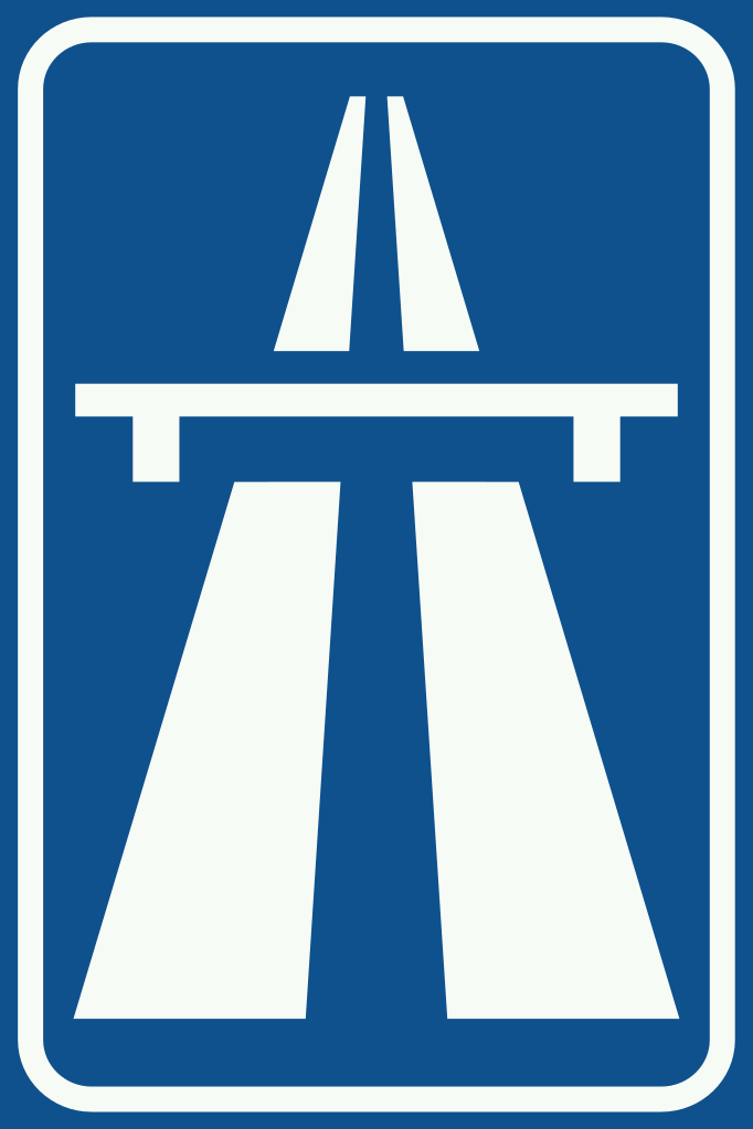
English: Netherlands road sign G1 - Motorway Nederlands: Nederlands verkeersbord G1 - Autosnelweg |
| Date | |
| Source | Verkeersborden en Verkeersregels in Nederland |
| Author | SVG version by Bouwe Brouwer |
Licensing
This image shows a traffic sign which comes from the Regulation respecting traffic rules and road signs 1990 (RVV 1990) which is part of the legislation of the Netherlands and is therefore in the public domain (article 11 of the 1912 Copyright Act).
|
 | |
| This file has been identified as being free of known restrictions under copyright law, including all related and neighboring rights. | ||
File history
Click on a date/time to view the file as it appeared at that time.
| Date/Time | Thumbnail | Dimensions | User | Comment | |
|---|---|---|---|---|---|
| current | 21:15, 1 September 2007 | | 200 × 300 (2 KB) | wikimediacommons>Bouwe Brouwer | Update to RAL traffic colours |
File usage
The following 27 pages use this file:
- Default speed limits
- Et:Key:highway
- Highway:International equivalence
- Key:maxspeed:type
- Key:zone:traffic
- Ko:Tag:highway=motorway
- OSM tags for routing/Access restrictions
- OSM tags for routing/Maxspeed
- Pl:Tag:highway=motorway
- Pt:Highway:International equivalence
- Reduced speed limit on Dutch motorways
- Sq:Key:highway
- Tag:highway=motorway
- Tag:maxspeed:type=NL:motorway
- Tag:zone:traffic=NL:rural
- Tag:zone:traffic=NL:urban
- Zh-hans:Tag:highway=motorway
- User:PeeWee32/NL Access highway
- Template:Highway:International equivalence
- Template:NL:Map Features:highway
- FR:Highway:International equivalence
- IT:Key:highway
- NL:Kaartelementen
- NL:Maximumsnelheid
- NL:Overzicht Nederlandse Verkeersborden
- NL:Tagging van Nederlandse wegen
- RU:Key:highway