File:Neuhausen.png
Jump to navigation
Jump to search

Size of this preview: 532 × 599 pixels. Other resolutions: 213 × 240 pixels | 426 × 480 pixels | 682 × 768 pixels.
Original file (682 × 768 pixels, file size: 323 KB, MIME type: image/png)
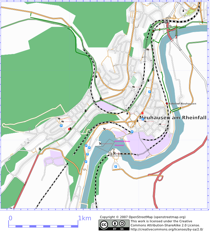
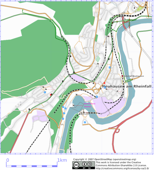
Neuhausen am Rheinfall. Rendered with osmarender in range: (47.696262,8.5964439):(47.669720,8.6295170)
Map of Neuhausen am Rheinfall
This map and others like it, were created by OpenStreetmap contributors, and are licensed as Creative Commons CC-BY-SA 2.0 (https://creativecommons.org/licenses/by-sa/2.0/) (see OpenStreetMap licence).
Use {{mapof|PlaceName}} to add this template to your images.
This map and others like it, were created by OpenStreetmap contributors, and are licensed as Creative Commons CC-BY-SA 2.0 (https://creativecommons.org/licenses/by-sa/2.0/) (see OpenStreetMap licence).
Use {{mapof|PlaceName}} to add this template to your images.
![]()
Contains map data © OpenStreetMap contributors, made available under the terms of the Creative Commons Attribution-ShareAlike 2.0 (CC-BY-SA-2.0).
File history
Click on a date/time to view the file as it appeared at that time.
| Date/Time | Thumbnail | Dimensions | User | Comment | |
|---|---|---|---|---|---|
| current | 21:20, 1 July 2007 | | 682 × 768 (323 KB) | Ast (talk | contribs) | updated rendering with more details especially near Rhine falls |
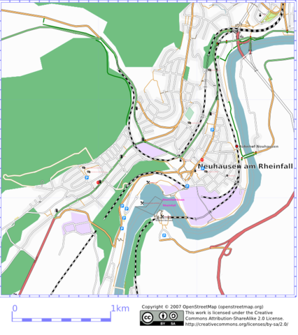
| 23:13, 3 June 2007 |  | 682 × 768 (295 KB) | Ast (talk | contribs) | Neuhausen am Rheinfall. Rendered with osmarender in range: (47.696262,8.5964439):(47.669720,8.6295170) |
You cannot overwrite this file.
File usage
The following page uses this file: