File:Newcastle centre.png
Jump to navigation
Jump to search

Size of this preview: 444 × 599 pixels. Other resolutions: 178 × 240 pixels | 516 × 696 pixels.
Original file (516 × 696 pixels, file size: 124 KB, MIME type: image/png)
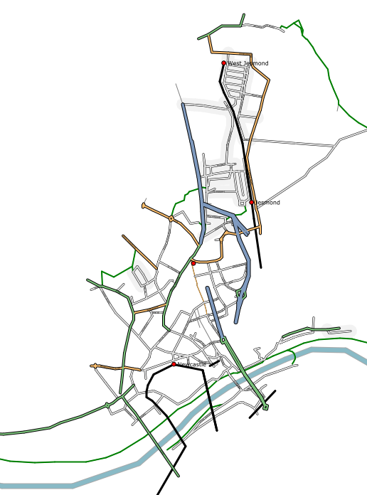
Old rendering of Newcastle showing the mapping progress mid 2006 (very early in OpenStreetMap's history!). Rendered with Osmarender
Map of Newcastle
This map and others like it, were created by OpenStreetmap contributors, and are licensed as Creative Commons CC-BY-SA 2.0 (https://creativecommons.org/licenses/by-sa/2.0/) (see OpenStreetMap licence).
Use {{mapof|PlaceName}} to add this template to your images.
This map and others like it, were created by OpenStreetmap contributors, and are licensed as Creative Commons CC-BY-SA 2.0 (https://creativecommons.org/licenses/by-sa/2.0/) (see OpenStreetMap licence).
Use {{mapof|PlaceName}} to add this template to your images.
![]()
Contains map data © OpenStreetMap contributors, made available under the terms of the Creative Commons Attribution-ShareAlike 2.0 (CC-BY-SA-2.0).
File history
Click on a date/time to view the file as it appeared at that time.
| Date/Time | Thumbnail | Dimensions | User | Comment | |
|---|---|---|---|---|---|
| current | 12:25, 24 July 2006 | | 516 × 696 (124 KB) | Ojw (talk | contribs) | |
| 12:06, 24 July 2006 | 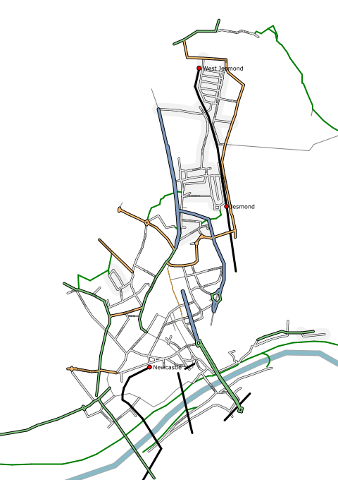 | 480 × 680 (118 KB) | Ojw (talk | contribs) | Fix B-road | |
| 12:02, 24 July 2006 | 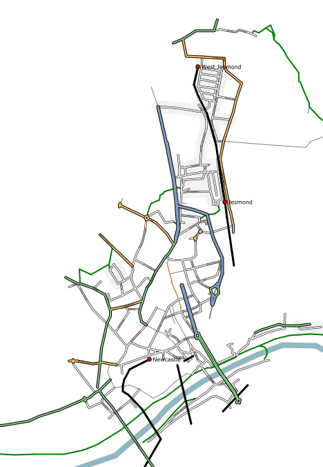 | 468 × 676 (116 KB) | Ojw (talk | contribs) | ||
| 17:43, 23 July 2006 | 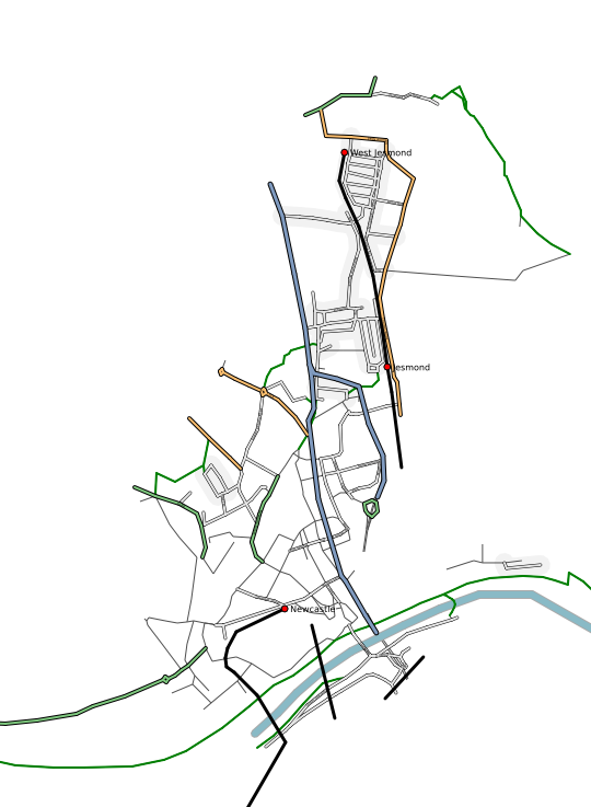 | 540 × 737 (110 KB) | Ojw (talk | contribs) |
You cannot overwrite this file.
File usage
The following 2 pages use this file: