File:Newcastle sketch.png
Jump to navigation
Jump to search

Size of this preview: 758 × 600 pixels. Other resolutions: 303 × 240 pixels | 607 × 480 pixels | 905 × 716 pixels.
Original file (905 × 716 pixels, file size: 39 KB, MIME type: image/png)
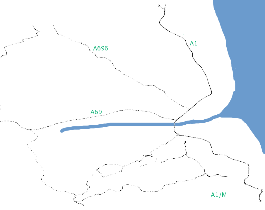
Map of Newcastle
This map and others like it, were created by OpenStreetmap contributors, and are licensed as Creative Commons CC-BY-SA 2.0 (https://creativecommons.org/licenses/by-sa/2.0/) (see OpenStreetMap licence).
Use {{mapof|PlaceName}} to add this template to your images.
This map and others like it, were created by OpenStreetmap contributors, and are licensed as Creative Commons CC-BY-SA 2.0 (https://creativecommons.org/licenses/by-sa/2.0/) (see OpenStreetMap licence).
Use {{mapof|PlaceName}} to add this template to your images.
From Image:Newcastle_tracklogs.png, sketch approximate coastline position and names of some of the roads, to give a bit of context...
File history
Click on a date/time to view the file as it appeared at that time.
| Date/Time | Thumbnail | Dimensions | User | Comment | |
|---|---|---|---|---|---|
| current | 15:29, 25 June 2006 | | 905 × 716 (39 KB) | Ojw (talk | contribs) | From Image:Newcastle_tracklogs.png, sketch approximate coastline position and names of some of the roads, to give a bit of context... |
You cannot overwrite this file.
File usage
There are no pages that use this file.