File:Nhd huc2 regions lower48.png
Jump to navigation
Jump to search

No higher resolution available.
Nhd_huc2_regions_lower48.png (720 × 480 pixels, file size: 97 KB, MIME type: image/png)
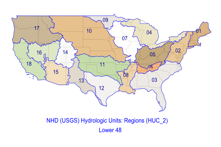
USGS/NHD Hydrologic Unit Regions, Lower 48 states, HUC_2 codes
File history
Click on a date/time to view the file as it appeared at that time.
| Date/Time | Thumbnail | Dimensions | User | Comment | |
|---|---|---|---|---|---|
| current | 22:58, 8 August 2009 | | 720 × 480 (97 KB) | Davetoo (talk | contribs) | USGS/NHD Hydrologic Unit Regions, Lower 48 states, HUC_2 codes |
You cannot overwrite this file.
File usage
The following 2 pages use this file: