File:NicholasCountySignWV.jpg
Jump to navigation
Jump to search

Size of this preview: 728 × 600 pixels. Other resolutions: 291 × 240 pixels | 583 × 480 pixels | 932 × 768 pixels | 1,243 × 1,024 pixels | 1,864 × 1,536 pixels.
Original file (1,864 × 1,536 pixels, file size: 722 KB, MIME type: image/jpeg)
This file and its description are from Wikimedia Commons.
Summary
| Description |
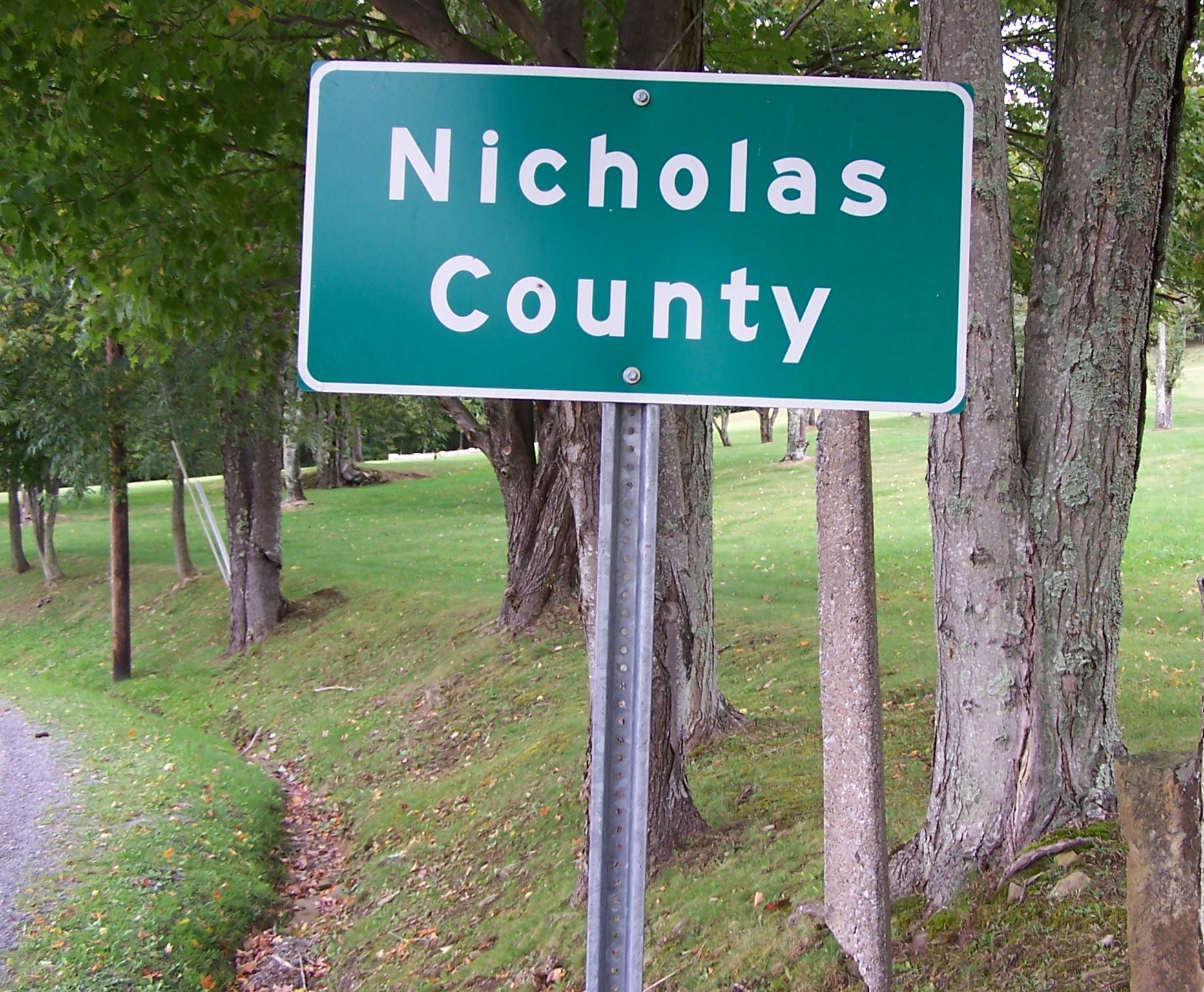
English: Self-made photo of the markers of the border between Nicholas County, West Virginia, and Greenbrier County, West Virginia located along Greenbrier Road (Nicholas county Route 39-11/Greenbrier County Route 39-1) near Richwood, West Virginia taken on September 24, 2006.
(Note: the sign itself, and not the photograph, is crooked) |
| Date | 26 September 2006 (original upload date) |
| Source | Transferred from en.wikipedia to Commons. |
| Author | Youngamerican at English Wikipedia |
Licensing
Youngamerican at the English-language Wikipedia, the copyright holder of this work, hereby publishes it under the following license:
| This file is licensed under the Creative Commons Attribution-Share Alike 3.0 Unported license. Subject to disclaimers. | ||
| Attribution: Youngamerican at the English-language Wikipedia | ||
| ||
| This licensing tag was added to this file as part of the GFDL licensing update. |

|
Permission is granted to copy, distribute and/or modify this document under the terms of the GNU Free Documentation License, Version 1.2 or any later version published by the Free Software Foundation; with no Invariant Sections, no Front-Cover Texts, and no Back-Cover Texts. A copy of the license is included in the section entitled GNU Free Documentation License. Subject to disclaimers. |
Original upload log
The original description page was here. All following user names refer to en.wikipedia.
- 2006-09-26 13:34 Youngamerican 1864×1536×8 (739299 bytes) Self-made photo of the markers of the border between Nicholas County, West Virginia, and Greenbrier County, West Virginia located along Greenbrier Road (Nicholas county Route 39-11/Greenbrier County Route 39-1) near Richwood, West Virginia taken on Septem
File history
Click on a date/time to view the file as it appeared at that time.
| Date/Time | Thumbnail | Dimensions | User | Comment | |
|---|---|---|---|---|---|
| current | 07:41, 19 December 2007 | | 1,864 × 1,536 (722 KB) | wikimediacommons>Scott5114 | {{Information |Description={{en|Self-made photo of the markers of the border between Nicholas County, West Virginia, and Greenbrier County, West Virginia located along Greenbrier Road (Nicholas county Route 39-11/Greenbrier County Route 39-1) near Richwoo |
File usage
The following 37 pages use this file:
- Cs:Hranice
- Cs:Key:boundary
- Cs:Tag:boundary=administrative
- Cs:Tag:boundary=economic
- Cs:Tag:boundary=military district
- Hu:Tag:boundary=administrative
- No:Key:boundary
- Pl:Key:boundary
- Pl:Tag:boundary=economic
- Pl:Tag:boundary=military district
- Pt:Key:boundary
- Pt:Tag:boundary=administrative
- Tag:boundary=administrative
- Tag:boundary=economic
- Tag:boundary=military district
- Tr:Tag:boundary=administrative
- Uk:Tag:boundary=administrative
- Uk:Межі та кордони
- Zh-hans:Tag:boundary=administrative
- User:Skybunny/Boundaries
- Wiki:Files used by data items/3
- DE:Key:boundary
- DE:Tag:boundary=administrative
- FR:Frontières
- FR:Tag:boundary=administrative
- ES:Key:boundary
- ES:Límites
- ES:Tag:boundary=administrative
- ES:Tag:boundary=military district
- IT:Confini
- IT:Key:boundary
- RU:Tag:boundary=administrative
- JA:Key:boundary
- JA:Tag:boundary=administrative
- JA:Tag:boundary=economic
- JA:Tag:boundary=military district
- JA:境界線