File:Niederlande qlandkarte1.png
Jump to navigation
Jump to search

Size of this preview: 673 × 599 pixels. Other resolutions: 269 × 240 pixels | 539 × 480 pixels | 952 × 848 pixels.
Original file (952 × 848 pixels, file size: 168 KB, MIME type: image/png)
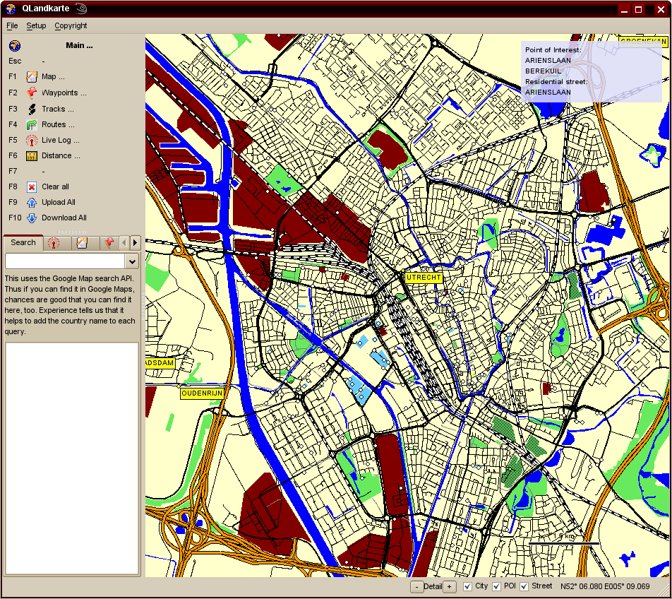
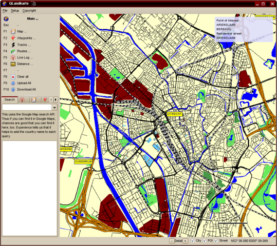
Ausschnitt von Utrecht in QLandkarte
- This media file was uploaded by author of the work and its copyright holder.
![]()
![]()
![]()
This work is licensed under the Creative Commons Attribution-ShareAlike 4.0 License.
Attribution: Computerteddy
Attribution: Computerteddy
![]()
Contains map data © OpenStreetMap contributors, made available under the terms of the Creative Commons Attribution-ShareAlike 2.0 (CC-BY-SA-2.0).
File history
Click on a date/time to view the file as it appeared at that time.
| Date/Time | Thumbnail | Dimensions | User | Comment | |
|---|---|---|---|---|---|
| current | 10:43, 21 September 2007 | | 952 × 848 (168 KB) | Computerteddy (talk | contribs) | Ausschnitt von Utrecht in QLandkarte |
You cannot overwrite this file.
File usage
The following 4 pages use this file: