File:Niger Delta Oct 2012 742.png
Jump to navigation
Jump to search

Size of this preview: 800 × 505 pixels. Other resolutions: 320 × 202 pixels | 640 × 404 pixels.
Original file (950 × 600 pixels, file size: 1.06 MB, MIME type: image/png)
Summary
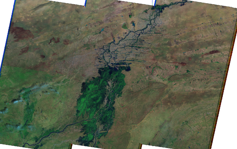
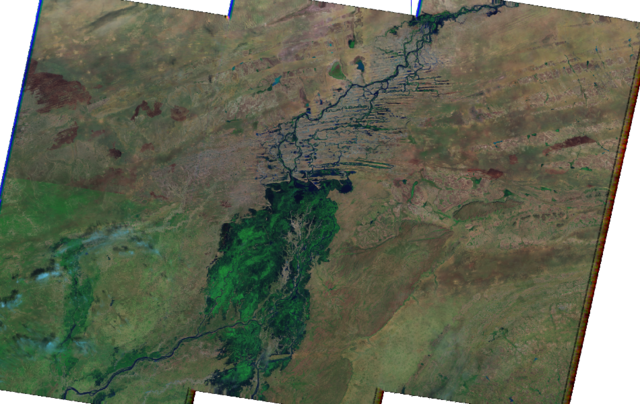
An imagery layer of the Inner Niger Delta taken in October 2012, showing landsat color bands 7, 4, and 2 as RGB respectively.
Licensing
![]()
This file has been released into the public domain by the copyright holder, its copyright has expired, or it is ineligible for copyright. This applies worldwide.
Please, please use more specific template such as {{PD-self}} / {{PD-creator}} / {{PD-shape}} / {{PD-USGov}} / {{PD-old}} / {{PD-RU-exempt}} ... This template is not making clear why this work is in the public domain.
Please, please use more specific template such as {{PD-self}} / {{PD-creator}} / {{PD-shape}} / {{PD-USGov}} / {{PD-old}} / {{PD-RU-exempt}} ... This template is not making clear why this work is in the public domain.
File history
Click on a date/time to view the file as it appeared at that time.
| Date/Time | Thumbnail | Dimensions | User | Comment | |
|---|---|---|---|---|---|
| current | 21:48, 27 February 2013 | | 950 × 600 (1.06 MB) | AndrewBuck (talk | contribs) | An imagery layer of the Inner Niger Delta taken in October 2012, showing landsat color bands 7, 4, and 2 as RGB respectively. |
You cannot overwrite this file.
File usage
The following page uses this file: