File:Nottingham-city-2009.png
Jump to navigation
Jump to search


Size of this preview: 800 × 494 pixels. Other resolutions: 320 × 197 pixels | 640 × 395 pixels | 919 × 567 pixels.
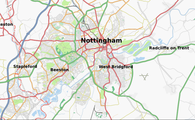
Original file (919 × 567 pixels, file size: 395 KB, MIME type: image/png)
Updated version of the Nottingham urban area taken from Tiles@Home - considerably more of the conurbation has been mapped now.
![]()
Contains map data © OpenStreetMap contributors, made available under the terms of the Creative Commons Attribution-ShareAlike 2.0 (CC-BY-SA-2.0).
File history
Click on a date/time to view the file as it appeared at that time.
| Date/Time | Thumbnail | Dimensions | User | Comment | |
|---|---|---|---|---|---|
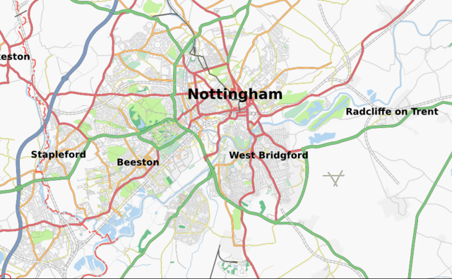
| current | 14:07, 4 January 2009 | | 919 × 567 (395 KB) | Kevjs1982 (talk | contribs) | Updated version of the Nottingham urban area taken from Tiles@Home - considerably more of the conurbation has been mapped now. |
You cannot overwrite this file.
File usage
The following page uses this file: