File:Nuremberg-North.png
Jump to navigation
Jump to search
Size of this preview: 800 × 460 pixels. Other resolutions: 320 × 184 pixels | 640 × 368 pixels | 1,250 × 718 pixels.
Original file (1,250 × 718 pixels, file size: 361 KB, MIME type: image/png)
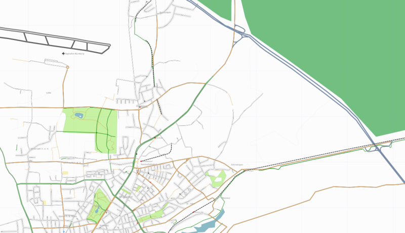
Mapping status Nuremberg North East, 2007-08-10. Rendered with xsltproc using rules/standard.xml from osmarender4.
![]()
Contains map data © OpenStreetMap contributors, made available under the terms of the Creative Commons Attribution-ShareAlike 2.0 (CC-BY-SA-2.0).
File history
Click on a date/time to view the file as it appeared at that time.
| Date/Time | Thumbnail | Dimensions | User | Comment | |
|---|---|---|---|---|---|
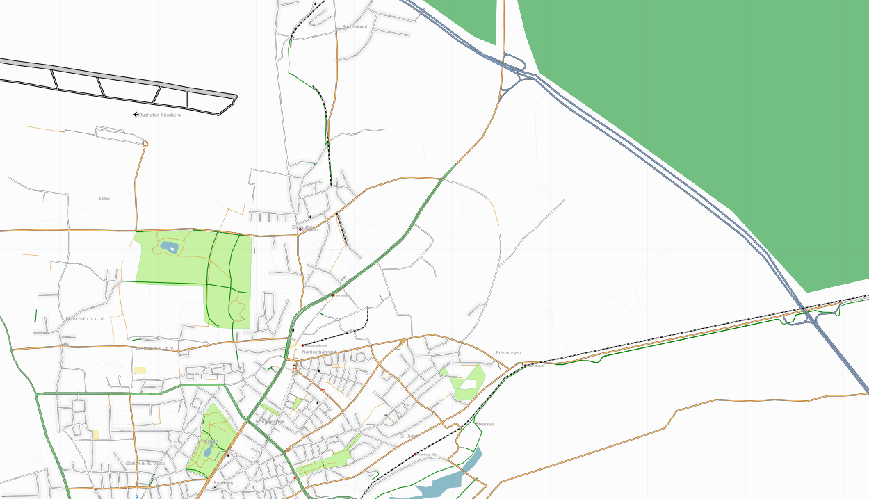
| current | 19:44, 10 August 2007 | | 1,250 × 718 (361 KB) | Keichwa (talk | contribs) | Mapping status Nuremberg North, 2007-08-10 Rendered with xsltproc using rules/standard.xml from osmarender4. |
You cannot overwrite this file.
File usage
There are no pages that use this file.