File:OatlandsVillage.png
Jump to navigation
Jump to search


Size of this preview: 800 × 389 pixels. Other resolutions: 320 × 155 pixels | 640 × 311 pixels | 1,264 × 614 pixels.
Original file (1,264 × 614 pixels, file size: 290 KB, MIME type: image/png)
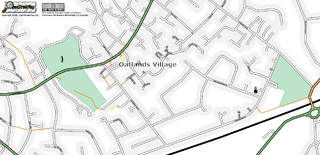
The Oatlands village area of Weybride as at May 4, 2006
![]()
Contains map data © OpenStreetMap contributors, made available under the terms of the Creative Commons Attribution-ShareAlike 2.0 (CC-BY-SA-2.0).
File history
Click on a date/time to view the file as it appeared at that time.
| Date/Time | Thumbnail | Dimensions | User | Comment | |
|---|---|---|---|---|---|
| current | 18:31, 4 May 2006 | | 1,264 × 614 (290 KB) | 80n (talk | contribs) | The Oatlands village area of Weybride as at May 4, 2006 |
You cannot overwrite this file.
File usage
The following page uses this file: