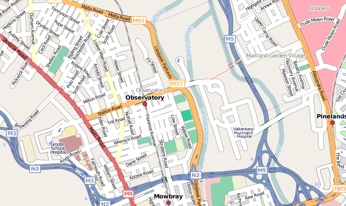
File:Observatory.png
Jump to navigation
Jump to search

No higher resolution available.
Observatory.png (701 × 419 pixels, file size: 233 KB, MIME type: image/png)
Observatory, Cape Town.
Licensing
![]()
![]()
![]()
This screenshot contains OpenStreetMap Carto rendering.
The OpenStreetMap Carto map style is made available under the Creative Commons CC-0 1.0 Universal Public Domain Dedication.
- Attribution to the map data:
![]()
Contains map data © OpenStreetMap contributors, made available under the terms of the Creative Commons Attribution-ShareAlike 2.0 (CC-BY-SA-2.0).
File history
Click on a date/time to view the file as it appeared at that time.
| Date/Time | Thumbnail | Dimensions | User | Comment | |
|---|---|---|---|---|---|
| current | 10:19, 27 April 2008 | | 701 × 419 (233 KB) | Htonl (talk | contribs) | update |
| 11:49, 30 September 2007 | 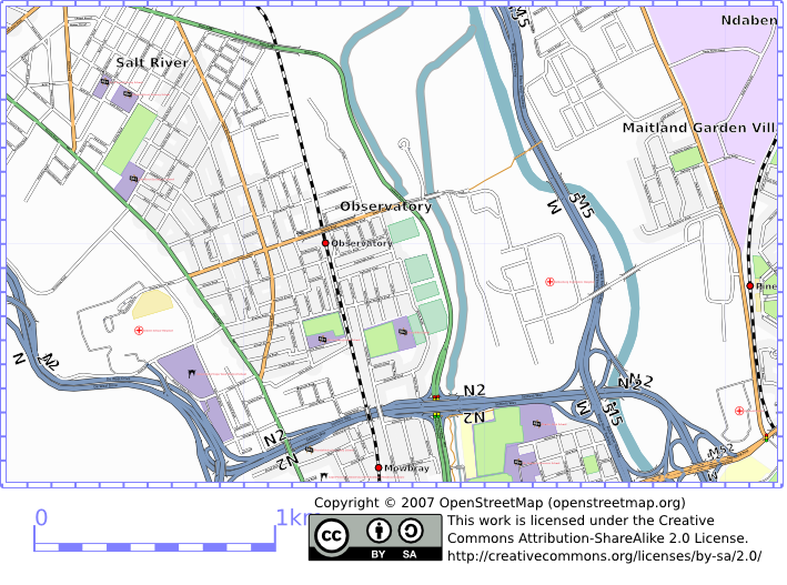 | 709 × 527 (333 KB) | Htonl (talk | contribs) | updated | |
| 02:31, 14 September 2007 |  | 706 × 527 (313 KB) | Htonl (talk | contribs) | osmarender of Observatory, Cape Town. |
You cannot overwrite this file.
File usage
The following page uses this file: