File:Obstacle-Path with precipice.JPG
Jump to navigation
Jump to search

No higher resolution available.
Obstacle-Path_with_precipice.JPG (800 × 600 pixels, file size: 203 KB, MIME type: image/jpeg)
Summary
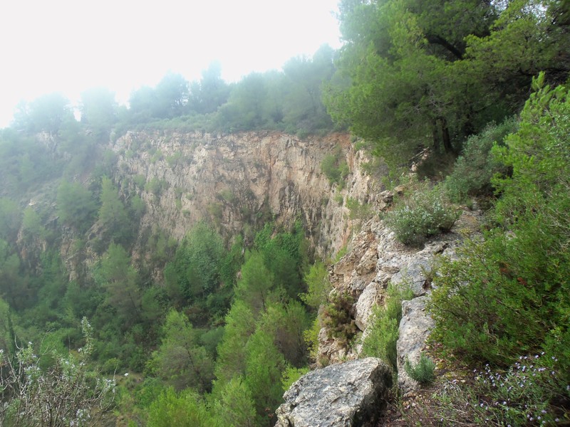
Path alongside the precipice of the abandoned Glory quarry in La Palma de Cervelló-Pallejà (Barcelona) map
Licensing
![]()
![]()
![]()
This work is licensed under the Creative Commons Attribution-ShareAlike 2.0 License.
Attribution not specified as a parameter! THIS LICENSE ALWAYS REQUIRES ATTRIBUTION! Use {{CC-BY-SA-2.0|Attribution, typically name of author}} See Template:CC-BY-SA-2.0 for full description how this template should be used.
Note, there is
There is also
Attribution not specified as a parameter! THIS LICENSE ALWAYS REQUIRES ATTRIBUTION! Use {{CC-BY-SA-2.0|Attribution, typically name of author}} See Template:CC-BY-SA-2.0 for full description how this template should be used.
Note, there is
{{CC-BY-SA-2.0 OpenStreetMap}} for files based on old OSM map data, before the license change made on 2012-09-12.There is also
{{OSM Carto screenshot||old_license}} for files based on old OSM map data, before the license change made on 2012-09-12, created using OSM Carto map style.
File history
Click on a date/time to view the file as it appeared at that time.
| Date/Time | Thumbnail | Dimensions | User | Comment | |
|---|---|---|---|---|---|
| current | 13:21, 19 October 2012 | | 800 × 600 (203 KB) | KonfrareAlbert (talk | contribs) | Path alongside the precipice of the abandoned Glory quarry in La Palma de Cervelló-Pallejà (Barcelona) [http://www.openstreetmap.org/?mlat=41.41494&mlon=1.98093&zoom=15&layers=M map] |
You cannot overwrite this file.
File usage
The following 4 pages use this file: