File:Osmarender-Copenhagen-04Sept2006.gif
Jump to navigation
Jump to search

Size of this preview: 728 × 600 pixels. Other resolutions: 292 × 240 pixels | 583 × 480 pixels | 933 × 768 pixels | 1,244 × 1,024 pixels | 2,487 × 2,048 pixels | 3,757 × 3,094 pixels.
Original file (3,757 × 3,094 pixels, file size: 601 KB, MIME type: image/gif, 0.1 s)
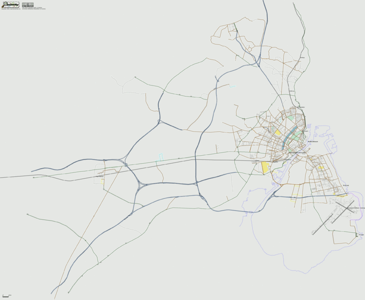
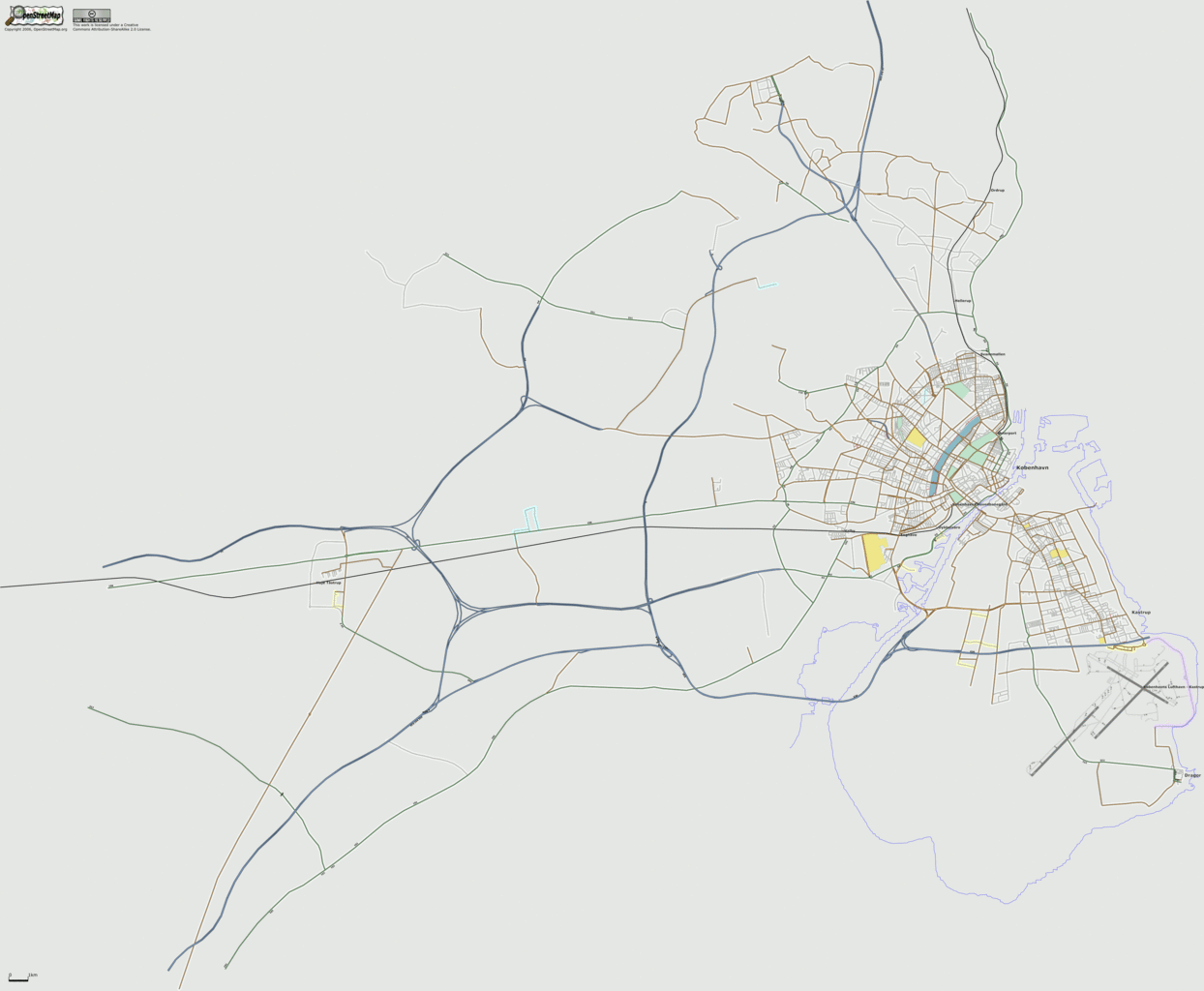
Osmarendered image of Greater Copenhagen, showing current progress of adding coastal lines, parks, lakes, and graveyards.
![]()
Contains map data © OpenStreetMap contributors, made available under the terms of the Creative Commons Attribution-ShareAlike 2.0 (CC-BY-SA-2.0).
File history
Click on a date/time to view the file as it appeared at that time.
| Date/Time | Thumbnail | Dimensions | User | Comment | |
|---|---|---|---|---|---|
| current | 16:53, 4 September 2006 | | 3,757 × 3,094 (601 KB) | Dutch (talk | contribs) | Osmarendered image of Greater Copenhagen, showing current progress of adding coastal lines, parks, lakes, and graveyards. |
You cannot overwrite this file.
File usage
The following 2 pages use this file: