File:Osnabrueck.png
Jump to navigation
Jump to search


No higher resolution available.
Osnabrueck.png (500 × 500 pixels, file size: 348 KB, MIME type: image/png)
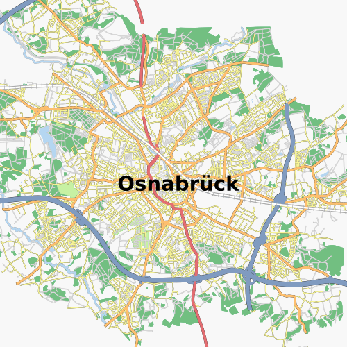
Osnabrueck in Germany, taken from Osmarender Slippy Map at level 12.
This is a Featured image, which means that it has been identified as one of the best examples of OpenStreetMap mapping, or that it provides a useful illustration of the OpenStreetMap project. If you know another image of similar quality, you can nominate it on Featured image proposals.
Front-page image on 03 Nov 2007
![]()
Contains map data © OpenStreetMap contributors, made available under the terms of the Creative Commons Attribution-ShareAlike 2.0 (CC-BY-SA-2.0).
File history
Click on a date/time to view the file as it appeared at that time.
| Date/Time | Thumbnail | Dimensions | User | Comment | |
|---|---|---|---|---|---|
| current | 10:42, 20 October 2007 | | 500 × 500 (348 KB) | Frederik Ramm (talk | contribs) | Osnabrueck in Germany, taken from Osmarender Slippy Map at level 12. |
You cannot overwrite this file.
File usage
The following 2 pages use this file: