File:Paulsdorf Spielplatz Am Mühlfeld.jpg

Original file (1,600 × 900 pixels, file size: 253 KB, MIME type: image/jpeg)
Summary
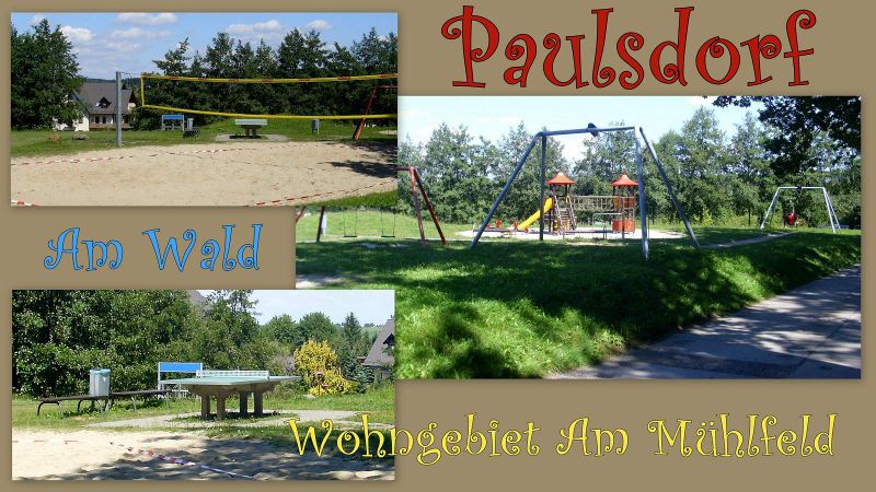
Jahr * Spielalter / + Positiv / - Negativ / website / Koordinaten:
2012 * 0 - 14 (Ballplatz - ...) / + gepflegt und vielseitig / - ... / http://schmiedeberg.xobor.de/t53f38-Dippoldiswalde-und-Ortsteile.html / (50.91278, 13.65131)
Licensing
- This media file was uploaded by author of the work and its copyright holder.
![]()
![]()
The person who associated a work with this deed has dedicated the work to the public domain by waiving all of his or her rights to the work worldwide under copyright law, including all related and neighboring rights, to the extent allowed by law. You can copy, modify, distribute and perform the work, even for commercial purposes, all without asking permission.
File history
Click on a date/time to view the file as it appeared at that time.
| Date/Time | Thumbnail | Dimensions | User | Comment | |
|---|---|---|---|---|---|
| current | 14:42, 8 March 2013 | | 1,600 × 900 (253 KB) | Geri-oc (talk | contribs) | 2012 * 0 - 14 (Ballplatz - ...) / + gepflegt und vielseitig / - ... |
You cannot overwrite this file.
File usage
There are no pages that use this file.