File:Portugal.png
Jump to navigation
Jump to search

Size of this preview: 800 × 554 pixels. Other resolutions: 320 × 222 pixels | 640 × 443 pixels | 1,024 × 709 pixels | 1,280 × 887 pixels | 2,560 × 1,774 pixels | 3,754 × 2,601 pixels.
Original file (3,754 × 2,601 pixels, file size: 1.67 MB, MIME type: image/png)
Licensing
| Contains map data © OpenStreetMap contributors, made available under the terms of the Open Database License (ODbL).
The ODbL does not require any particular license for maps produced from ODbL data, produced maps may be subject also to other licences. |
File history
Click on a date/time to view the file as it appeared at that time.
| Date/Time | Thumbnail | Dimensions | User | Comment | |
|---|---|---|---|---|---|
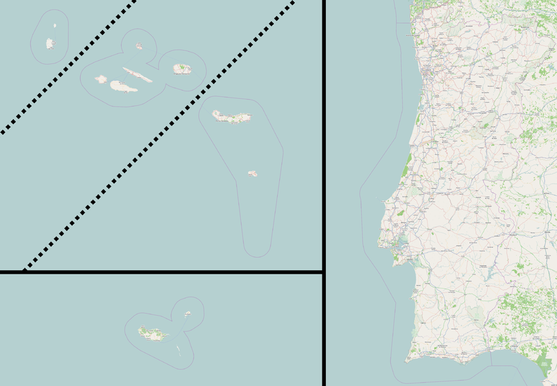
| current | 00:35, 21 May 2014 | | 3,754 × 2,601 (1.67 MB) | ViriatoLusitano (talk | contribs) | Updated map of Portugal + added missing islands. |
| 23:50, 31 January 2012 | 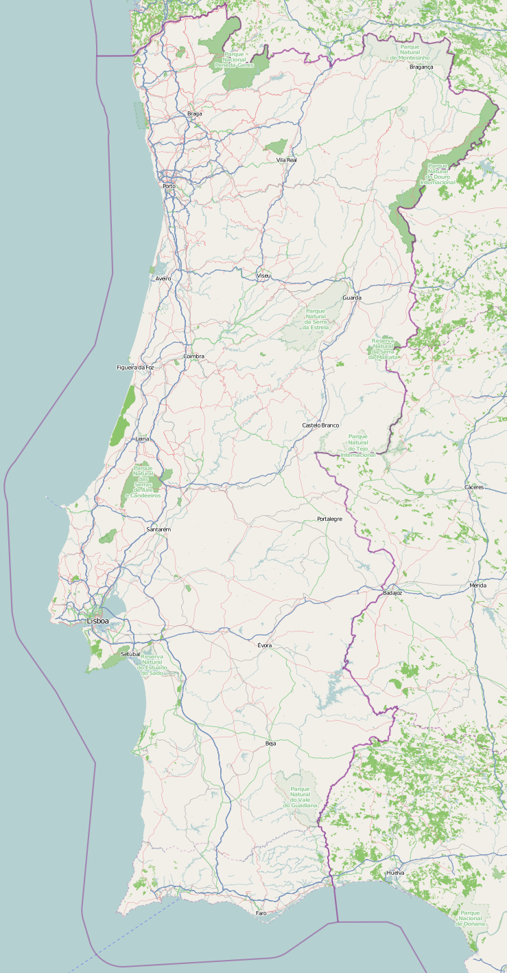 | 739 × 1,416 (594 KB) | Rockenrola (talk | contribs) | ||
| 16:18, 13 May 2008 | 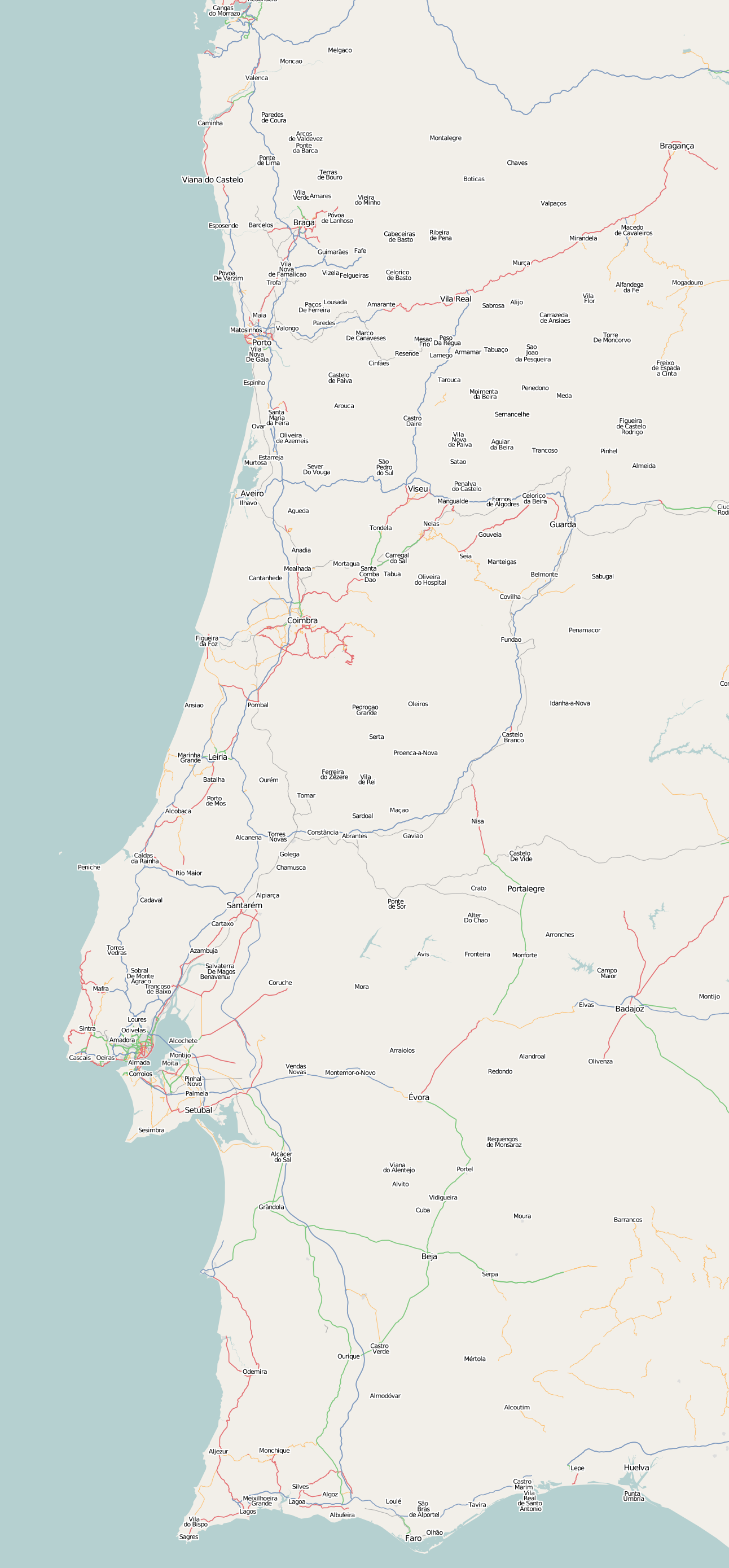 | 1,292 × 2,778 (618 KB) | Morais (talk | contribs) | ||
| 16:11, 13 May 2008 |  | 136 × 276 (14 KB) | Morais (talk | contribs) |
You cannot overwrite this file.
File usage
There are no pages that use this file.