File:QC Scout Area Mapping Party planned slices.png
Jump to navigation
Jump to search


Size of this preview: 800 × 534 pixels. Other resolutions: 320 × 214 pixels | 640 × 427 pixels | 1,024 × 684 pixels | 1,366 × 912 pixels.
Original file (1,366 × 912 pixels, file size: 292 KB, MIME type: image/png)
Information
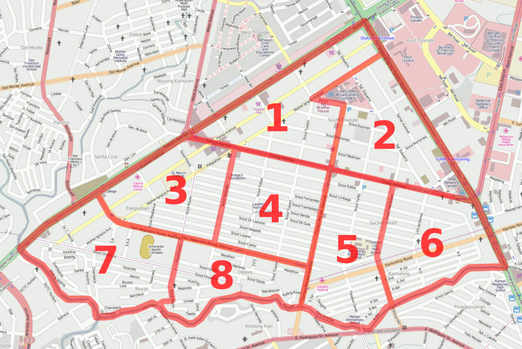
| Description | Planned slices for the QC Scout Area Mapping Party. |
|---|---|
| Author | seav |
| Source | http://osm.org/go/4zhTAhpH-- |
| Date | 2011-02-06 |
| Permission | CC-BY 2.0 |
File history
Click on a date/time to view the file as it appeared at that time.
| Date/Time | Thumbnail | Dimensions | User | Comment | |
|---|---|---|---|---|---|
| current | 08:39, 6 February 2011 | | 1,366 × 912 (292 KB) | Seav (talk | contribs) | ==Information== {{Information |Description = Planned slices for the QC Scout Area Mapping Party. |Source = http://osm.org/go/4zhTAhpH-- |Author = seav |Date = 2011-02-06 |Permission = [http://creativecomm |
You cannot overwrite this file.
File usage
The following page uses this file: