File:Residential building with a tunnel.jpg
Jump to navigation
Jump to search
Size of this preview: 800 × 600 pixels. Other resolutions: 320 × 240 pixels | 640 × 480 pixels | 1,024 × 768 pixels | 1,200 × 900 pixels.
Original file (1,200 × 900 pixels, file size: 451 KB, MIME type: image/jpeg)
Summary
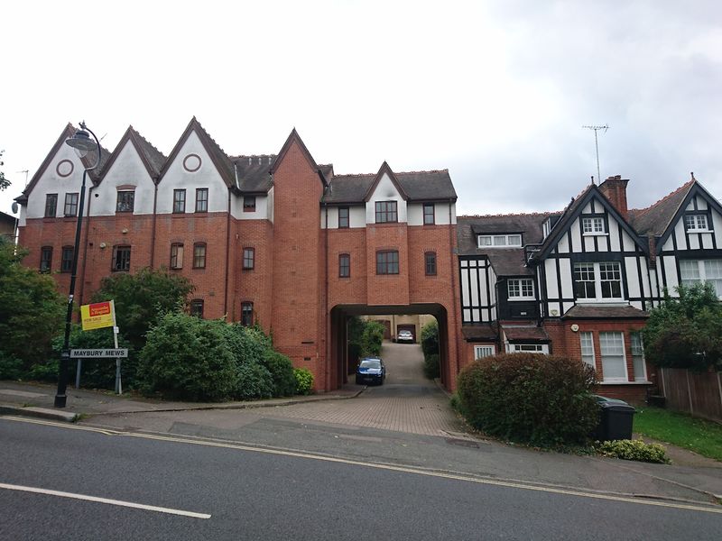
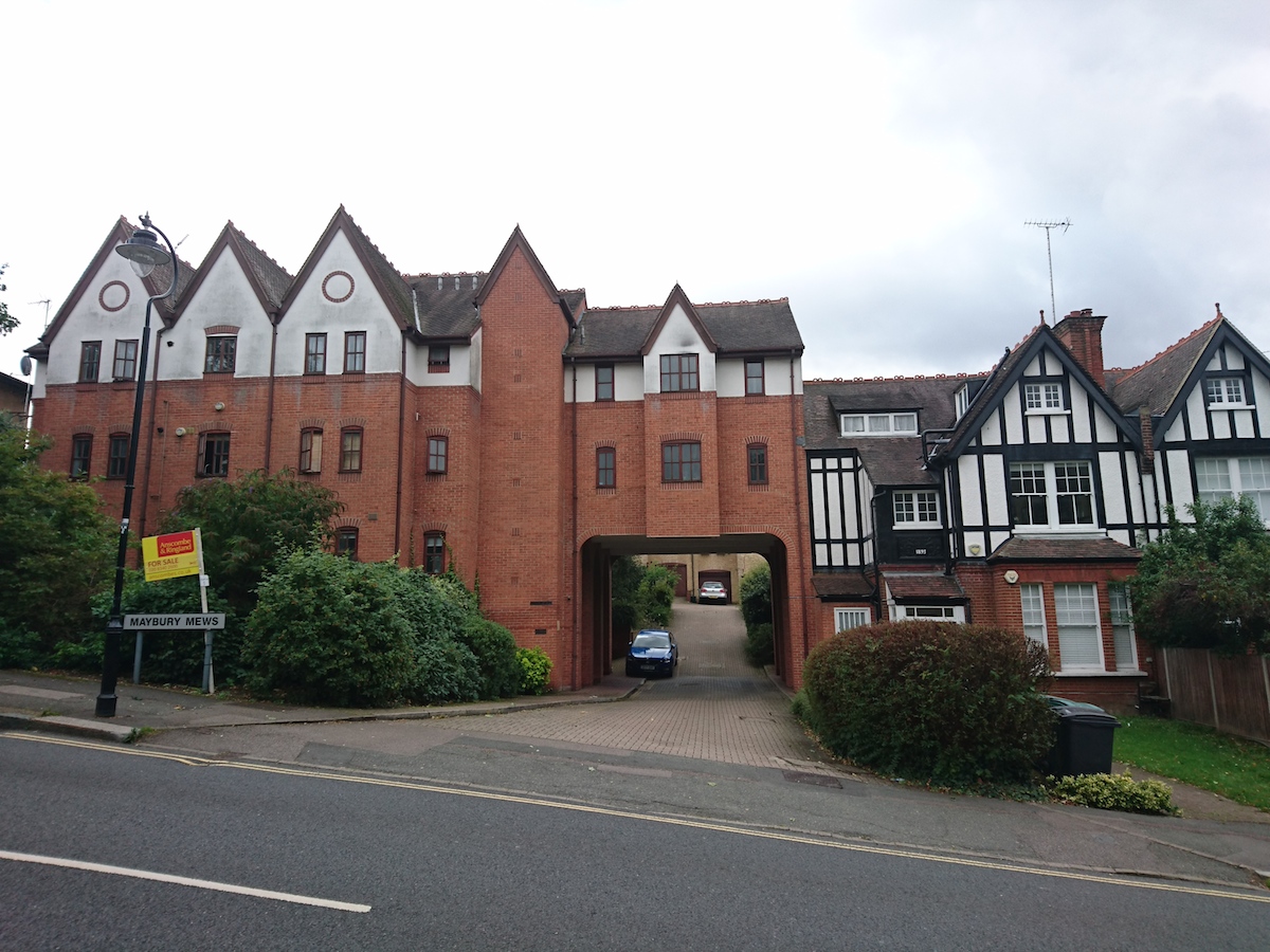
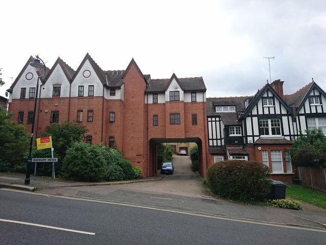
Residential building with a tunnel
This is Maybury Mews: http://www.openstreetmap.org/way/519415922#map=19/51.57398/-0.13474&layers=D
Licensing
![]()
![]()
![]()
This work is licensed under the Creative Commons Attribution-ShareAlike 3.0 License.
Attribution not specified as a parameter! THIS LICENSE ALWAYS REQUIRES ATTRIBUTION! Use {{CC-BY-SA-3.0|Attribution, typically name of author}} See Template:CC-BY-SA-3.0 for full description how this template should be used.
Attribution not specified as a parameter! THIS LICENSE ALWAYS REQUIRES ATTRIBUTION! Use {{CC-BY-SA-3.0|Attribution, typically name of author}} See Template:CC-BY-SA-3.0 for full description how this template should be used.
File history
Click on a date/time to view the file as it appeared at that time.
| Date/Time | Thumbnail | Dimensions | User | Comment | |
|---|---|---|---|---|---|
| current | 19:36, 28 August 2017 | | 1,200 × 900 (451 KB) | Harry Wood (talk | contribs) | Residential building with a tunnel This is Maybury Mews: http://www.openstreetmap.org/way/519415922#map=19/51.57398/-0.13474&layers=D |
You cannot overwrite this file.
File usage
The following 6 pages use this file: