File:Richmond-on-Thames.png
Jump to navigation
Jump to search

Size of this preview: 800 × 598 pixels. Other resolutions: 320 × 239 pixels | 640 × 478 pixels | 806 × 602 pixels.
Original file (806 × 602 pixels, file size: 281 KB, MIME type: image/png)
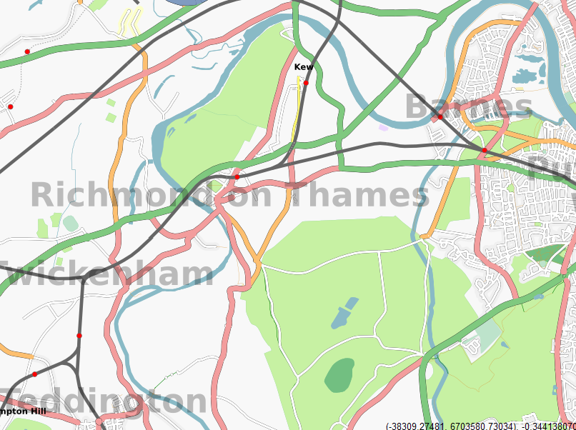
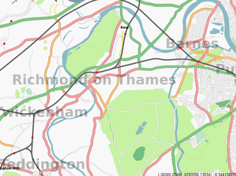
Richmond-on-Thames Mapping Party, target area.
![]()
Contains map data © OpenStreetMap contributors, made available under the terms of the Creative Commons Attribution-ShareAlike 2.0 (CC-BY-SA-2.0).
File history
Click on a date/time to view the file as it appeared at that time.
| Date/Time | Thumbnail | Dimensions | User | Comment | |
|---|---|---|---|---|---|
| current | 20:04, 9 April 2007 | | 806 × 602 (281 KB) | 80n (talk | contribs) | Richmond-on-Thames Mapping Party, target area. |
You cannot overwrite this file.
File usage
The following page uses this file: