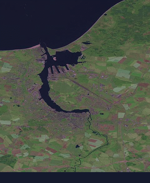
File:Rostock-history-020080115.gif
Jump to navigation
Jump to search
No higher resolution available.
Rostock-history-020080115.gif (480 × 587 pixels, file size: 203 KB, MIME type: image/gif, looped, 20 frames, 20 s)
- current state: 01/15/2008
- settings: bbox: 54.0133,12.0333,54.2433,12.2333
- date range: earliest to latest
- background: landsat
- created with: http://wiki.openstreetmap.org/index.php/Historical_Coverage
Historical Coverage generated with Geofabrik OSM History tool.
Licensing
Geofabrik OSM History tool was released in Public domain by Frederik Ramm.
Landsat satellite imagery was released in Public domain by NASA (media usage guidelines, open data policy).
![]()
Contains map data © OpenStreetMap contributors, made available under the terms of the Creative Commons Attribution-ShareAlike 2.0 (CC-BY-SA-2.0).
File history
Click on a date/time to view the file as it appeared at that time.
| Date/Time | Thumbnail | Dimensions | User | Comment | |
|---|---|---|---|---|---|
| current | 20:27, 15 January 2008 | | 480 × 587 (203 KB) | Larskr (talk | contribs) | * current state: 01/15/2008 * settings: bbox: 54.0133,12.0333,54.2433,12.2333 * date range: earliest to latest * background: landsat * created with: http://wiki.openstreetmap.org/index.php/Historical_Coverage |
You cannot overwrite this file.
File usage
There are no pages that use this file.