File:RutlandCake.png
Jump to navigation
Jump to search
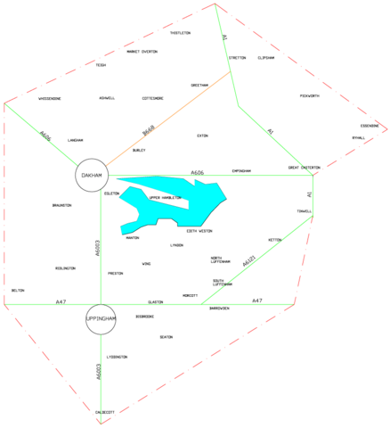
Size of this preview: 547 × 599 pixels. Other resolutions: 219 × 240 pixels | 438 × 480 pixels | 819 × 897 pixels.
Original file (819 × 897 pixels, file size: 57 KB, MIME type: image/png)
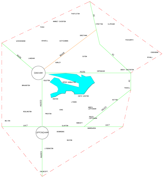
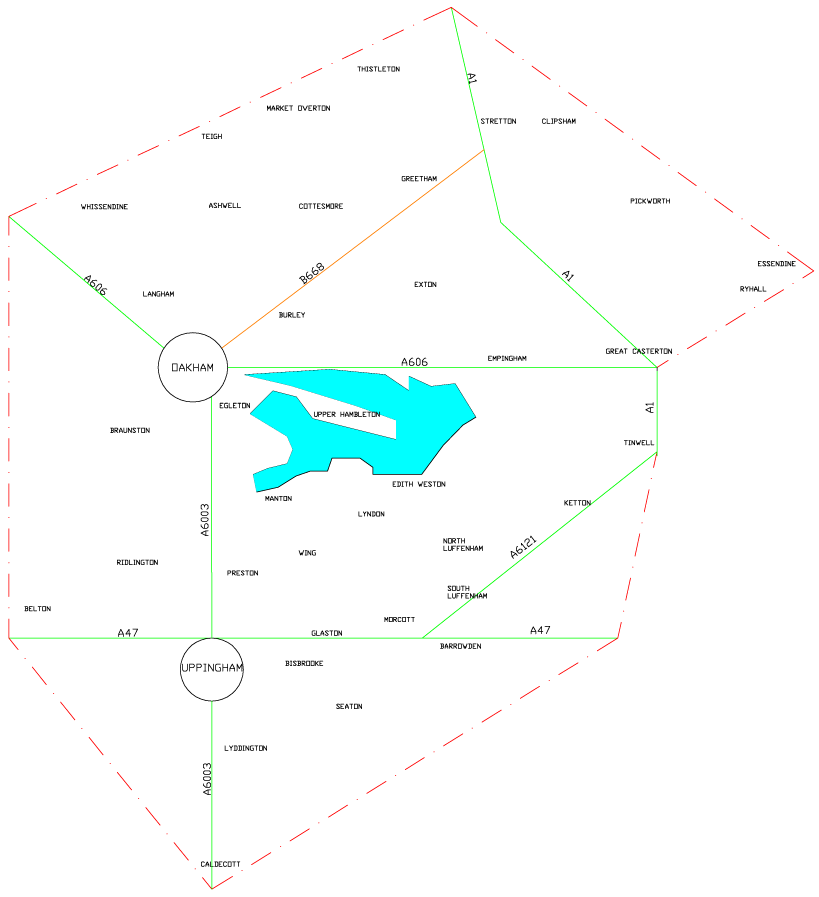
A schematic map of Rutland for planning purposes. Based upon the New Popular Edition Out-of-copyright map. Rutland Water (which does not feature on the original map) has been loosely drawn in using the 300' contour lines.
File history
Click on a date/time to view the file as it appeared at that time.
| Date/Time | Thumbnail | Dimensions | User | Comment | |
|---|---|---|---|---|---|
| current | 09:03, 24 August 2006 | | 819 × 897 (57 KB) | Blackadder (talk | contribs) | A schematic map of Rutland for planning purposes. Based upon the New Popular Edition Out-of-copyright map. |
You cannot overwrite this file.
File usage
The following page uses this file: