File:Savanna towards the south-east from the south-west of Taita Hills Game Lodge within the Taita Hills Wildlife Sanctuary in Kenya.jpg
Jump to navigation
Jump to search


Size of this preview: 800 × 533 pixels. Other resolutions: 320 × 213 pixels | 640 × 427 pixels | 1,024 × 683 pixels | 1,280 × 853 pixels | 2,560 × 1,707 pixels | 4,608 × 3,072 pixels.
Original file (4,608 × 3,072 pixels, file size: 7.48 MB, MIME type: image/jpeg)
This file and its description are from Wikimedia Commons.
Summary
| Description |
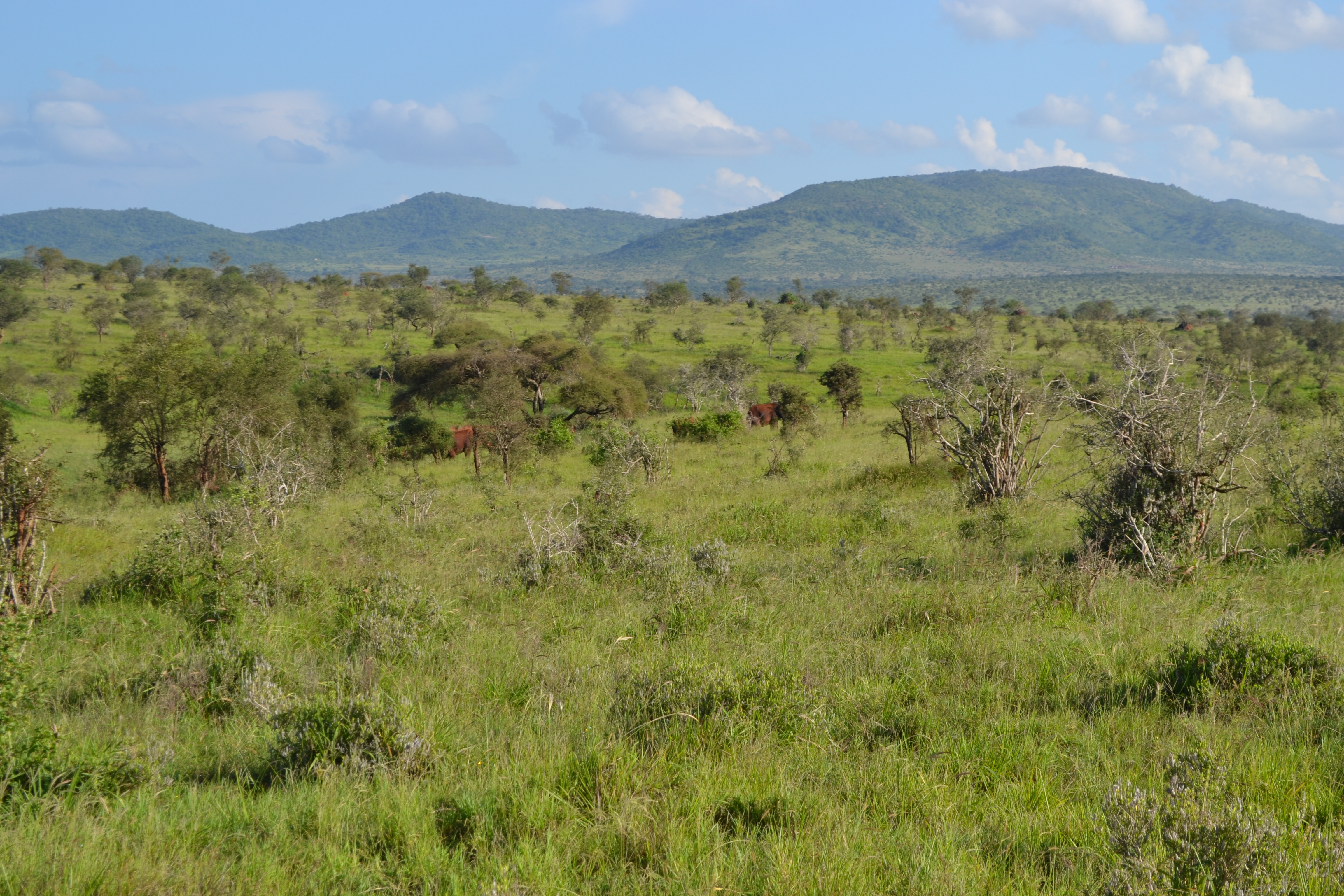
English: View of the savanna, towards the south-east, photographed south-west of the Taita Hills Game Lodge, near the eastern boundary of the LUMO Community Wildlife Sanctuary, in Taita Hills Wildlife Sanctuary, Kenya.
This file was uploaded with Commonist. |
| Date | |
| Source | Own work |
| Author | CT Cooper |
| Camera location | | View this and other nearby images on: OpenStreetMap |
|---|
Licensing
I, the copyright holder of this work, hereby publish it under the following license:
This file is licensed under the Creative Commons Attribution 3.0 Unported license.
Attribution: Christopher T Cooper
- You are free:
- to share – to copy, distribute and transmit the work
- to remix – to adapt the work
- Under the following conditions:
- attribution – You must give appropriate credit, provide a link to the license, and indicate if changes were made. You may do so in any reasonable manner, but not in any way that suggests the licensor endorses you or your use.
| Annotations | This image is annotated: View the annotations at Commons |
File history
Click on a date/time to view the file as it appeared at that time.
| Date/Time | Thumbnail | Dimensions | User | Comment | |
|---|---|---|---|---|---|
| current | 14:30, 10 July 2012 | | 4,608 × 3,072 (7.48 MB) | wikimediacommons>CT Cooper |
File usage
The following page uses this file: