File:ScalableMapsLondonBW.png
Jump to navigation
Jump to search

No higher resolution available.
ScalableMapsLondonBW.png (512 × 441 pixels, file size: 118 KB, MIME type: image/png)
Summary
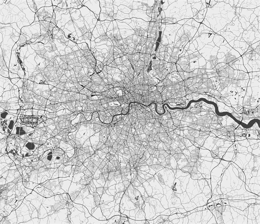
Map of London metropolitan area road network in black and white. Vector map version available at [1]
Licensing

The copyright holder of this file allows anyone to use it for any purpose, provided that the copyright holder is properly attributed. Redistribution, derivative work, commercial use, and all other use is permitted.
If you are the uploader, please provide proper attribution including source and name of author.
If you are the uploader, please provide proper attribution including source and name of author.
File history
Click on a date/time to view the file as it appeared at that time.
| Date/Time | Thumbnail | Dimensions | User | Comment | |
|---|---|---|---|---|---|
| current | 13:24, 17 December 2015 | | 512 × 441 (118 KB) | Breki (talk | contribs) | Map of London metropolitan area road network in black and white. Vector map version available at [http://scalablemaps.com/map/london-high-bw-nolabels] |
You cannot overwrite this file.
File usage
The following page uses this file: