File:Seawallventnor.jpg
Jump to navigation
Jump to search


Size of this preview: 800 × 600 pixels. Other resolutions: 320 × 240 pixels | 640 × 480 pixels | 1,024 × 768 pixels | 1,280 × 960 pixels | 1,600 × 1,200 pixels.
Original file (1,600 × 1,200 pixels, file size: 142 KB, MIME type: image/jpeg)
This file and its description are from Wikimedia Commons.
Summary
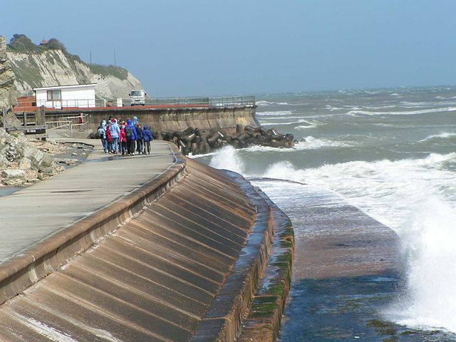
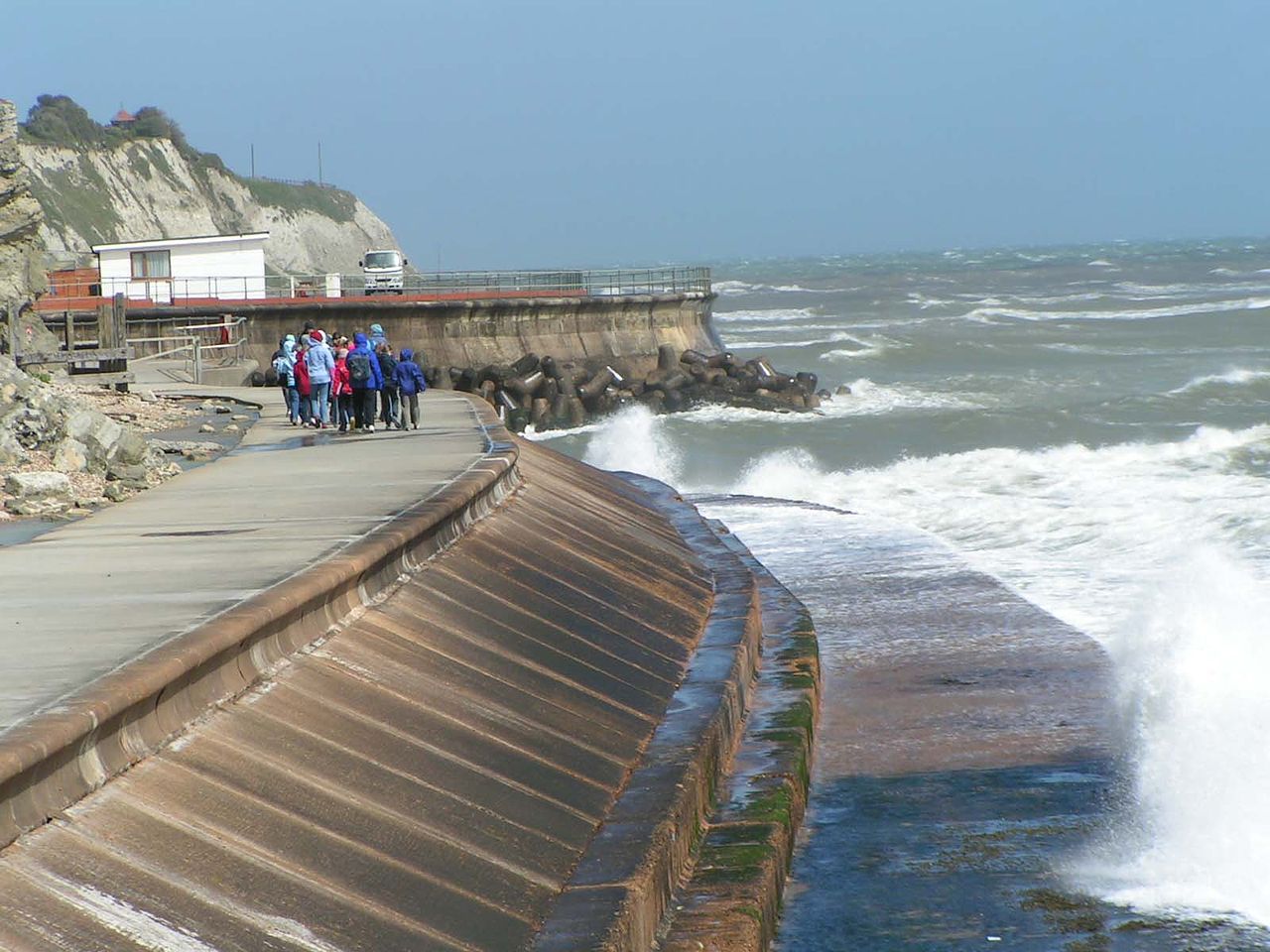
| Description | Isle of Wight Centre for the Coastal Environment |
| Date | 13 February 2007 (original upload date) |
| Source | Transferred from en.wikipedia to Commons. |
| Author | Oikos-team at English Wikipedia |
Licensing
| This work has been released into the public domain by its author, Oikos-team at English Wikipedia. This applies worldwide. In some countries this may not be legally possible; if so: Oikos-team grants anyone the right to use this work for any purpose, without any conditions, unless such conditions are required by law. |
| Camera location | | View this and other nearby images on: OpenStreetMap |
|---|
Original upload log
The original description page was here. All following user names refer to en.wikipedia.
- 2007-02-13 14:36 Oikos-team 1600×1200×8 (145590 bytes) Isle of Wight Centre for the Coastal Environment
File history
Click on a date/time to view the file as it appeared at that time.
| Date/Time | Thumbnail | Dimensions | User | Comment | |
|---|---|---|---|---|---|
| current | 08:28, 14 September 2007 | | 1,600 × 1,200 (142 KB) | wikimediacommons>Liftarn | {{Information |Description=Isle of Wight Centre for the Coastal Environment |Source=Originally from [http://en.wikipedia.org en.wikipedia]; description page is/was [http://en.wikipedia.org/w/index.php?title=Image%3ASeawallventnor.jpg here]. |Date=2007-02- |
File usage
The following 9 pages use this file: