File:Shrewsbury map.png
Jump to navigation
Jump to search


Size of this preview: 750 × 600 pixels. Other resolutions: 300 × 240 pixels | 600 × 480 pixels | 960 × 768 pixels | 1,280 × 1,024 pixels.
Original file (1,280 × 1,024 pixels, file size: 267 KB, MIME type: image/png)
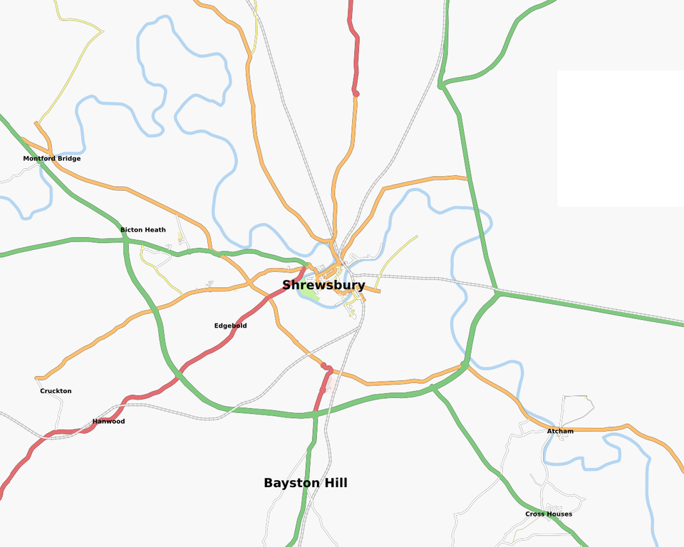
Coverage of Shrewsbury from OJW's OSM places site
File history
Click on a date/time to view the file as it appeared at that time.
| Date/Time | Thumbnail | Dimensions | User | Comment | |
|---|---|---|---|---|---|
| current | 12:04, 6 April 2008 | | 1,280 × 1,024 (267 KB) | Higgy (talk | contribs) | I've been doing some mapping here over the last couple of months... |
| 16:36, 28 February 2008 |  | 1,280 × 1,024 (253 KB) | Higgy (talk | contribs) | Current coverage of Shrewsbury at 28th Feb 2008 | |
| 00:28, 28 February 2007 |  | 640 × 642 (83 KB) | Higgy (talk | contribs) | After spending much of the day tagging all the main roads I have GPS traces for, it looks a little improved but still very bare. | |
| 11:05, 25 December 2006 |  | 766 × 765 (58 KB) | Higgy (talk | contribs) | OSM coverage of Shrewsbury at date shown |
You cannot overwrite this file.
File usage
There are no pages that use this file.