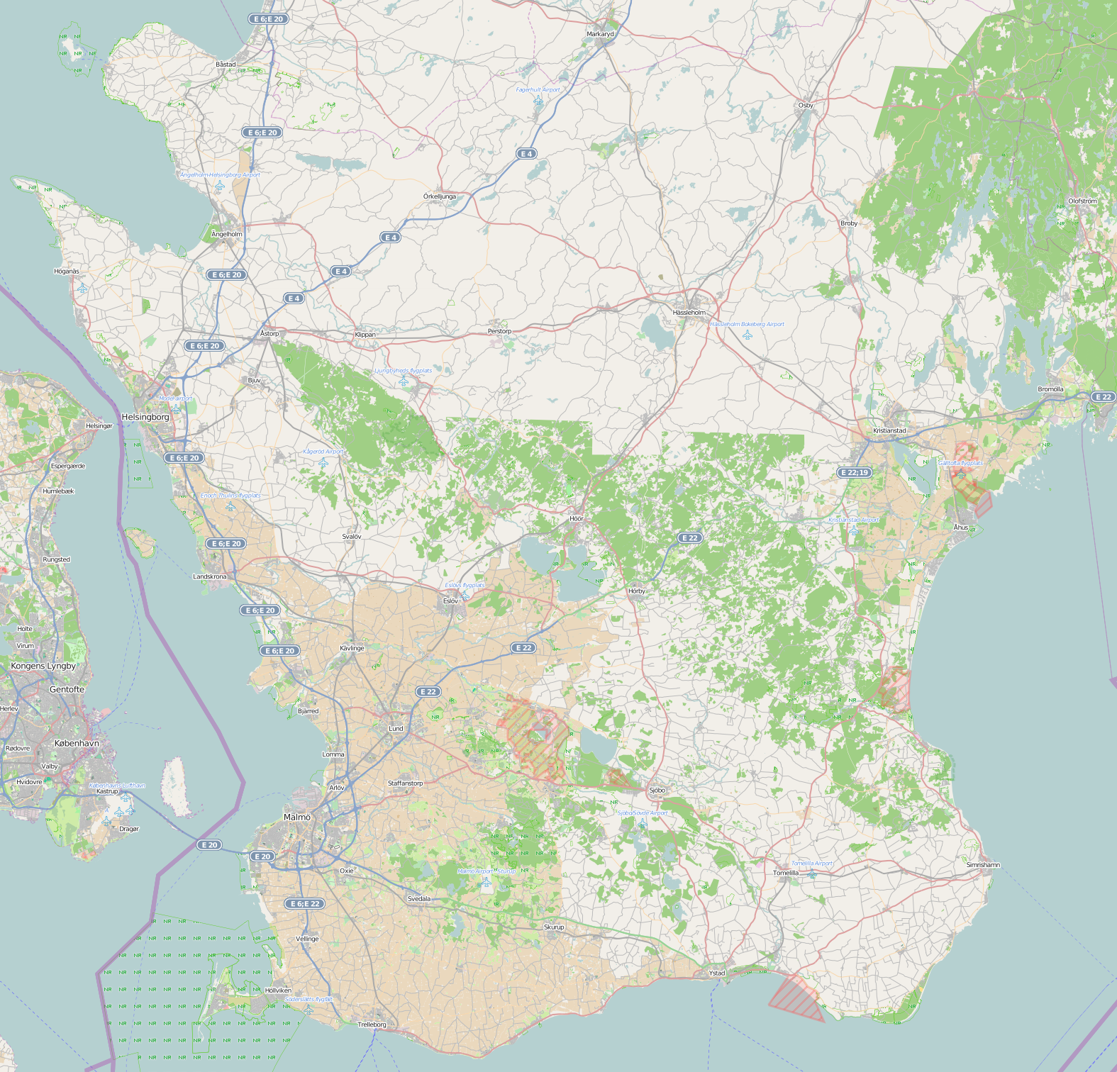
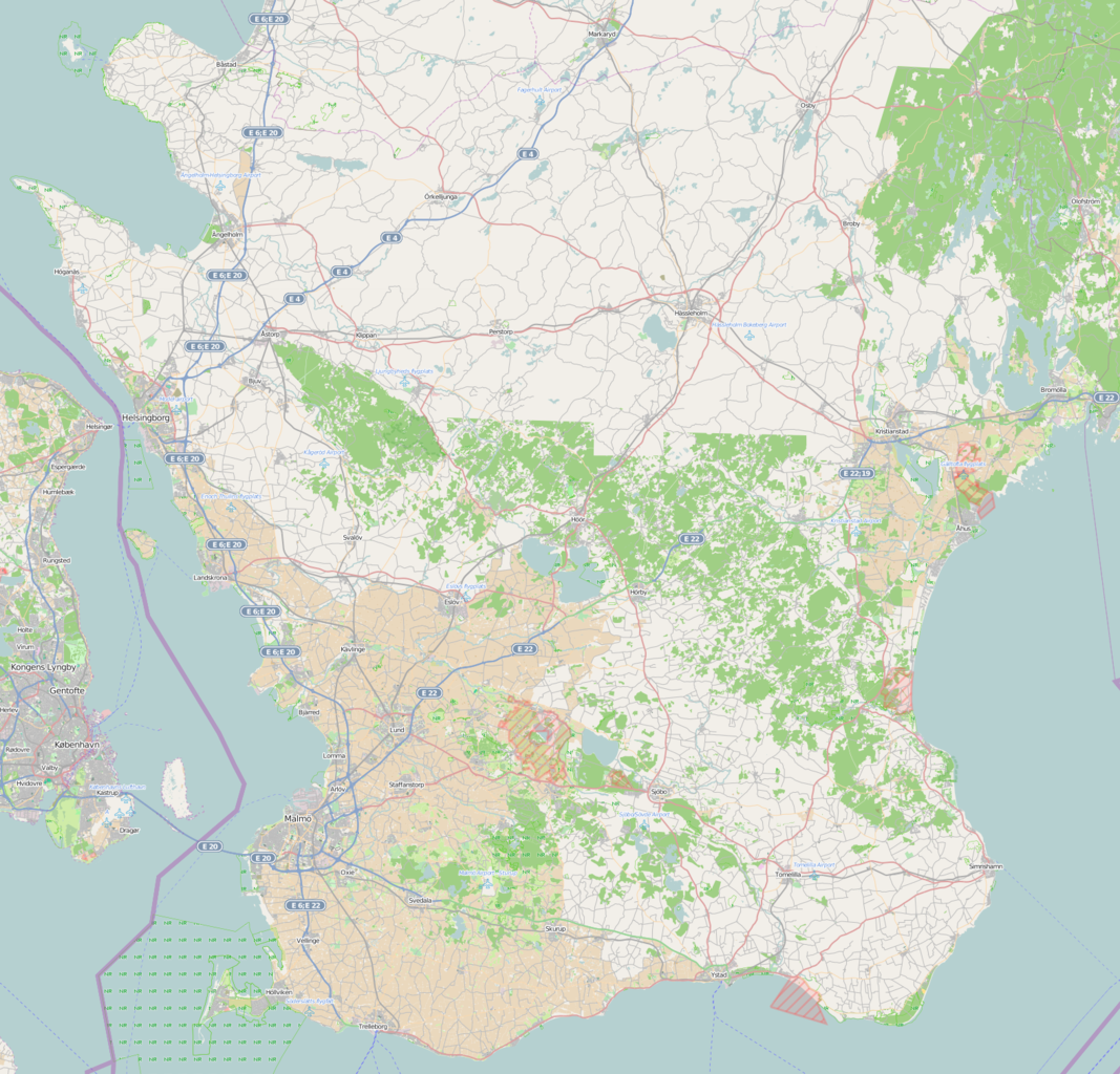
File:Skane-2013-04-16.png
Original file (1,575 × 1,512 pixels, file size: 1.86 MB, MIME type: image/png)
Summary
Skåne, 9 september 2013
Export link: http://parent.tile.openstreetmap.org/cgi-bin/export?bbox=12.421,55.323,14.6,56.496&scale=550000&format=png Previous export link: http://parent.tile.openstreetmap.org/cgi-bin/export?bbox=12.421,55.323,14.6,56.496&scale=500000&format=png
See also: File:Skane-2012-08-09.png, File:Skane-2016-07-31.png
Licensing
![]()
![]()
The OpenStreetMap Carto map style is made available under the Creative Commons CC-0 1.0 Universal Public Domain Dedication.
- Attribution to the map data:
| Contains map data © OpenStreetMap contributors, made available under the terms of the Open Database License (ODbL).
The ODbL does not require any particular license for maps produced from ODbL data, produced maps may be subject also to other licences. |
File history
Click on a date/time to view the file as it appeared at that time.
| Date/Time | Thumbnail | Dimensions | User | Comment | |
|---|---|---|---|---|---|
| current | 22:43, 5 March 2014 | | 1,575 × 1,512 (1.86 MB) | Joakimfors (talk | contribs) | 2014-03-05 |
| 22:43, 5 March 2014 |  | 1,575 × 1,512 (1.86 MB) | Joakimfors (talk | contribs) | 2014-02-17 | |
| 07:41, 9 September 2013 | 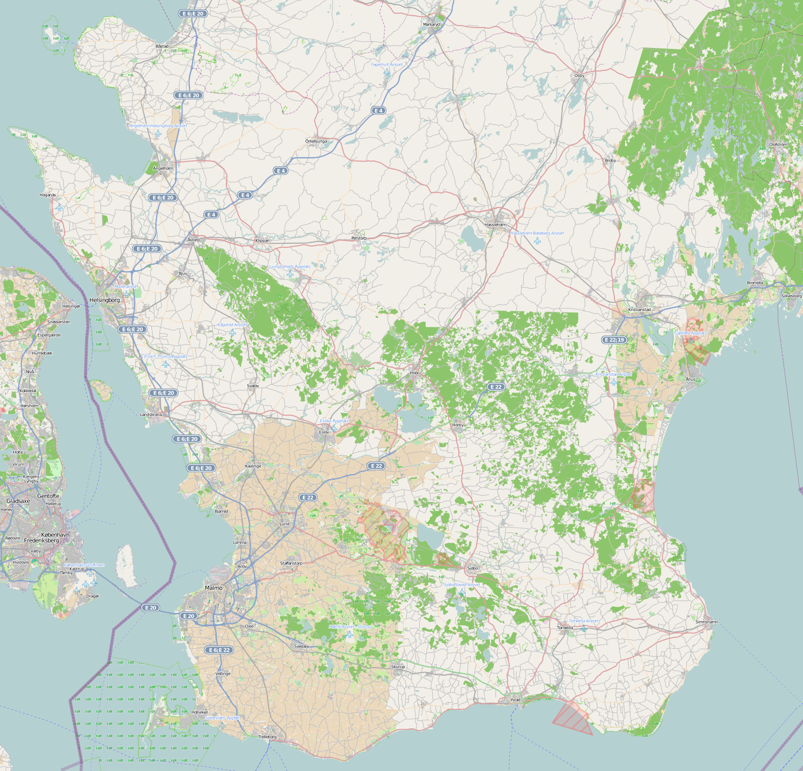 | 1,575 × 1,512 (1.85 MB) | Joakimfors (talk | contribs) | Skåne 2013-09-09 | |
| 19:12, 16 April 2013 | 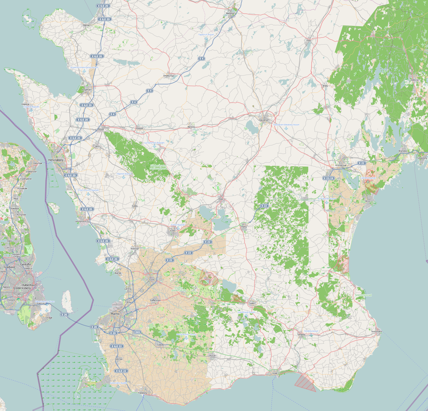 | 1,732 × 1,664 (1.81 MB) | Joakimfors (talk | contribs) | Skåne, 16 april 2013 |
You cannot overwrite this file.
File usage
The following page uses this file: