File:Soria-20090127.png
Jump to navigation
Jump to search

Size of this preview: 600 × 600 pixels. Other resolutions: 240 × 240 pixels | 480 × 480 pixels | 768 × 768 pixels | 1,024 × 1,024 pixels | 1,300 × 1,300 pixels.
Original file (1,300 × 1,300 pixels, file size: 722 KB, MIME type: image/png)
File history
Click on a date/time to view the file as it appeared at that time.
| Date/Time | Thumbnail | Dimensions | User | Comment | |
|---|---|---|---|---|---|
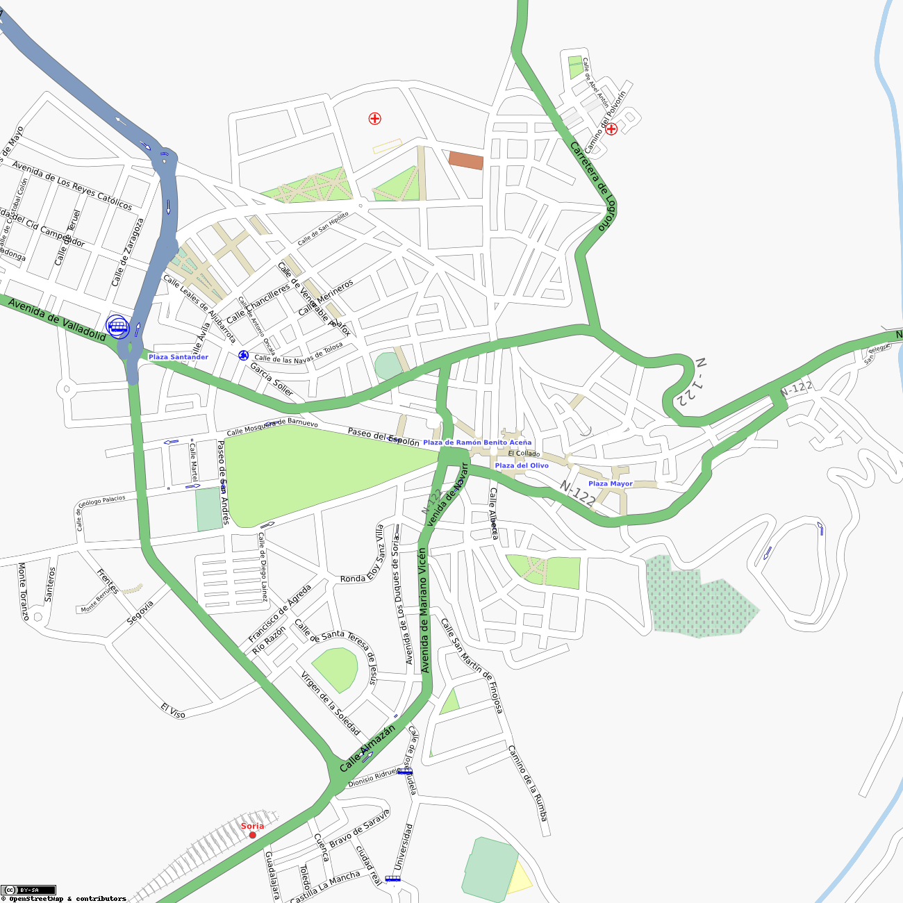
| current | 17:04, 27 January 2009 | | 1,300 × 1,300 (722 KB) | Jynus (talk | contribs) | OSM map of [http://www.openstreetmap.org/?lat=41.7642&lon=-2.4691&zoom=14&layers=B000FTF Soria], Spain, on 27th January 2009. [http://server.tah.openstreetmap.org/MapOf/?lat=41.7642&long=-2.4691&z=16&w=1300&h=1300&format=png Source] |
You cannot overwrite this file.
File usage
The following page uses this file: