File:Sri Krishna Temple Road mapping party, Indiranagar Bengaluru.gif
Jump to navigation
Jump to search


Size of this preview: 800 × 421 pixels. Other resolutions: 320 × 168 pixels | 640 × 336 pixels | 1,151 × 605 pixels.
Original file (1,151 × 605 pixels, file size: 867 KB, MIME type: image/gif, looped, 9 frames, 6.3 s)
Summary
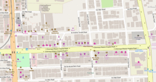
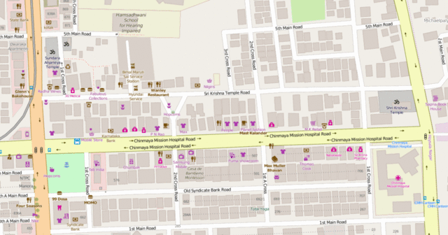
Improvement of OSM during the mapping party by the Mapbox Data Team at Indiranagar, Bengaluru.
Licensing
![]()
![]()
This screenshot contains OpenStreetMap Carto rendering.
The OpenStreetMap Carto map style is made available under the Creative Commons CC-0 1.0 Universal Public Domain Dedication.
- Attribution to the map data:
| Contains map data © OpenStreetMap contributors, made available under the terms of the Open Database License (ODbL).
The ODbL does not require any particular license for maps produced from ODbL data, produced maps may be subject also to other licences. |
File history
Click on a date/time to view the file as it appeared at that time.
| Date/Time | Thumbnail | Dimensions | User | Comment | |
|---|---|---|---|---|---|
| current | 08:45, 6 April 2016 | | 1,151 × 605 (867 KB) | Planemad (talk | contribs) | Improvement of OSM during the mapping party by the Mapbox Data Team at Indiranagar, Bengaluru. |
You cannot overwrite this file.
File usage
There are no pages that use this file.