File:St. Anna-Baumgarten 01.jpg
Jump to navigation
Jump to search


Size of this preview: 400 × 600 pixels. Other resolutions: 160 × 240 pixels | 320 × 480 pixels | 512 × 768 pixels | 682 × 1,024 pixels | 1,365 × 2,048 pixels | 3,168 × 4,752 pixels.
Original file (3,168 × 4,752 pixels, file size: 4.56 MB, MIME type: image/jpeg)
This file and its description are from Wikimedia Commons.
Summary
| Description |
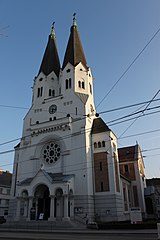
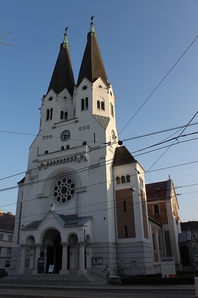
English: Parish church of St. Anne in the 14th district of Vienna
Deutsch: Pfarrkirche St. Anna-Baumgarten, Wien 14
|
| Date | |
| Source | Own work |
| Author | DerHHO |
| Object location | | View this and other nearby images on: OpenStreetMap |
|---|
Licensing
I, the copyright holder of this work, hereby publish it under the following license:
| This file is made available under the Creative Commons CC0 1.0 Universal Public Domain Dedication. | |
| The person who associated a work with this deed has dedicated the work to the public domain by waiving all of their rights to the work worldwide under copyright law, including all related and neighboring rights, to the extent allowed by law. You can copy, modify, distribute and perform the work, even for commercial purposes, all without asking permission.
|
File history
Click on a date/time to view the file as it appeared at that time.
| Date/Time | Thumbnail | Dimensions | User | Comment | |
|---|---|---|---|---|---|
| current | 20:34, 2 April 2011 | | 3,168 × 4,752 (4.56 MB) | wikimediacommons>DerHHO | {{Information |Description ={{en|1=Parish church of St. Anne in the 14th district of Vienna}} {{de|1=Pfarrkirche St. Anna-Baumgarten, Wien 14}} |Source ={{own}} |Author =DerHHO |Date =2011-04-02 |Permission |
File usage
The following page uses this file: