File:Suedtangente3.jpg
Jump to navigation
Jump to search

Size of this preview: 800 × 600 pixels. Other resolutions: 320 × 240 pixels | 640 × 480 pixels | 1,024 × 768 pixels | 1,152 × 864 pixels.
Original file (1,152 × 864 pixels, file size: 107 KB, MIME type: image/jpeg)
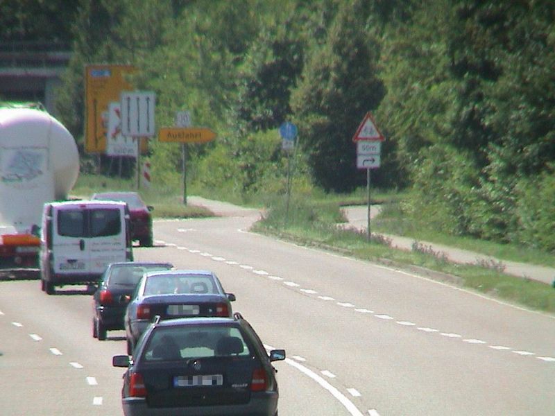
De: Bsp. für Straßenklassifizierung: Südtangente, hier B 10, ab hier keine Kraftfahrstraße
En: example for highway tags
Source: own photography 2009-06-18
License: CC-BY-NC-SA
Place: B 10 Karlsruhe-Knielingen
File history
Click on a date/time to view the file as it appeared at that time.
| Date/Time | Thumbnail | Dimensions | User | Comment | |
|---|---|---|---|---|---|
| current | 15:37, 18 June 2009 | | 1,152 × 864 (107 KB) | Mueck (talk | contribs) | De: Bsp. für Straßenklassifizierung: Südtangente, hier B 10, ab hier keine Kraftfahrstraße En: example for highway tags Source: own photography 2009-06-18 License: CC-BY-NC-SA Place: K 9652 Karlsruhe-Knielingen :http://www.openstreetmap.org/?lat=4 |
You cannot overwrite this file.
File usage
There are no pages that use this file.