File:Sunderland-cake.png
Jump to navigation
Jump to search

No higher resolution available.
Sunderland-cake.png (600 × 470 pixels, file size: 225 KB, MIME type: image/png)
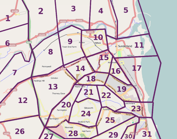
A map of Sunderland with cake slices drawn on, for the Sunderland May 2009 Mapping Party.
File history
Click on a date/time to view the file as it appeared at that time.
| Date/Time | Thumbnail | Dimensions | User | Comment | |
|---|---|---|---|---|---|
| current | 20:57, 7 April 2009 | | 600 × 470 (225 KB) | LastGrape (talk | contribs) | A map of Sunderland with cake slices drawn on, for the Sunderland May 2009 Mapping Party. |
You cannot overwrite this file.
File usage
The following page uses this file: