File:SurreyHillsExampleResult.png
Jump to navigation
Jump to search
Size of this preview: 628 × 599 pixels. Other resolutions: 252 × 240 pixels | 503 × 480 pixels | 717 × 684 pixels.
Original file (717 × 684 pixels, file size: 86 KB, MIME type: image/png)
Summary
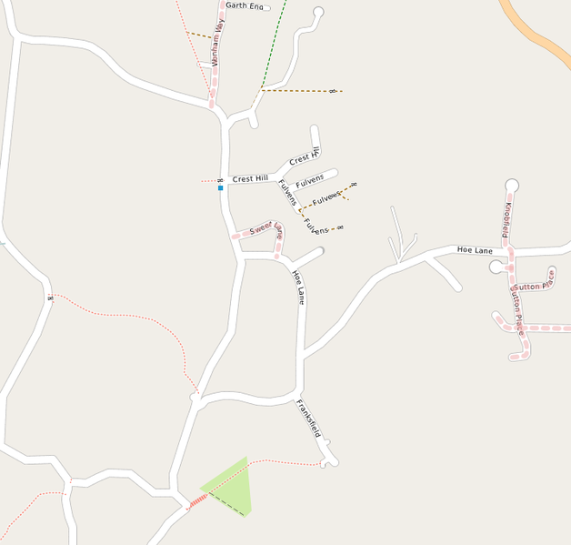
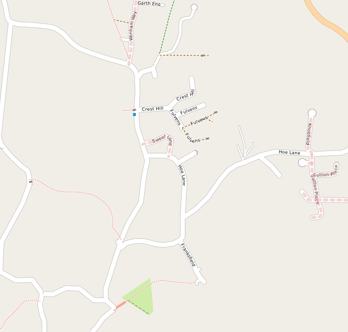
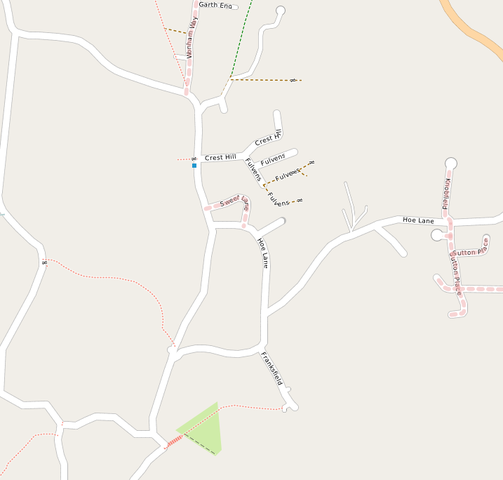
Part of the final map from the party.
Licensing
![]()
![]()
![]()
This screenshot contains OpenStreetMap Carto rendering.
The OpenStreetMap Carto map style is made available under the Creative Commons CC-0 1.0 Universal Public Domain Dedication.
- Attribution to the map data:
![]()
Contains map data © OpenStreetMap contributors, made available under the terms of the Creative Commons Attribution-ShareAlike 2.0 (CC-BY-SA-2.0).
File history
Click on a date/time to view the file as it appeared at that time.
| Date/Time | Thumbnail | Dimensions | User | Comment | |
|---|---|---|---|---|---|
| current | 17:12, 27 September 2011 | | 717 × 684 (86 KB) | TimSC (talk | contribs) | Part of the final map from the party. |
You cannot overwrite this file.
File usage
The following page uses this file: