File:Tactile map hbf hannover.jpg
Jump to navigation
Jump to search

Size of this preview: 800 × 600 pixels. Other resolutions: 320 × 240 pixels | 640 × 480 pixels | 1,024 × 768 pixels | 1,280 × 960 pixels | 1,600 × 1,200 pixels.
Original file (1,600 × 1,200 pixels, file size: 215 KB, MIME type: image/jpeg)
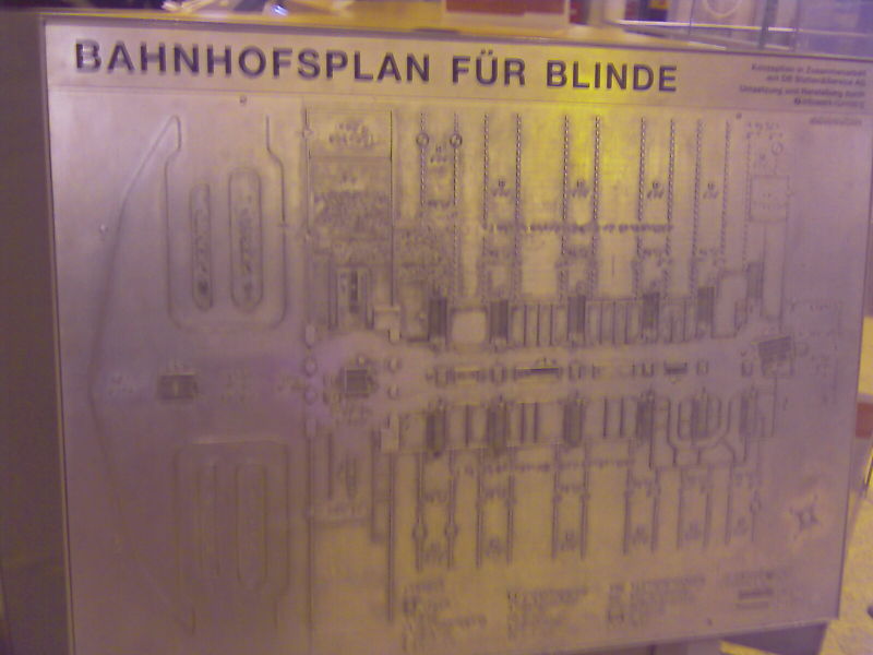
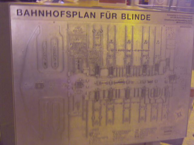
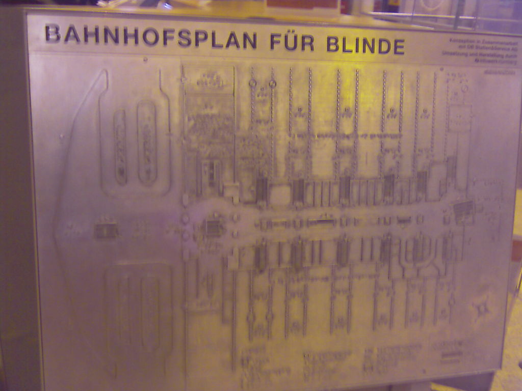
Tactile map of the main station in Hannover, Germany.
File history
Click on a date/time to view the file as it appeared at that time.
| Date/Time | Thumbnail | Dimensions | User | Comment | |
|---|---|---|---|---|---|
| current | 20:51, 21 March 2010 | | 1,600 × 1,200 (215 KB) | Lulu-Ann (talk | contribs) | Tactile map of the main station in Hannover, Germany. |
You cannot overwrite this file.
File usage
The following 8 pages use this file: