File:Tancarville map.jpg
Jump to navigation
Jump to search


Size of this preview: 573 × 599 pixels. Other resolutions: 230 × 240 pixels | 459 × 480 pixels | 882 × 922 pixels.
Original file (882 × 922 pixels, file size: 67 KB, MIME type: image/jpeg)
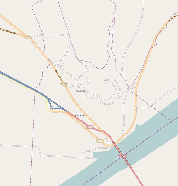
Carte de la commune de Tancarville
Licensing
![]()
![]()
![]()
This screenshot contains OpenStreetMap Carto rendering.
The OpenStreetMap Carto map style is made available under the Creative Commons CC-0 1.0 Universal Public Domain Dedication.
- Attribution to the map data:
![]()
Contains map data © OpenStreetMap contributors, made available under the terms of the Creative Commons Attribution-ShareAlike 2.0 (CC-BY-SA-2.0).
File history
Click on a date/time to view the file as it appeared at that time.
| Date/Time | Thumbnail | Dimensions | User | Comment | |
|---|---|---|---|---|---|
| current | 19:22, 16 June 2009 | | 882 × 922 (67 KB) | Squale76 (talk | contribs) | Carte de la commune de Tancarville |
You cannot overwrite this file.
File usage
There are no pages that use this file.