File:Tehran-2007-03-17.png
Jump to navigation
Jump to search

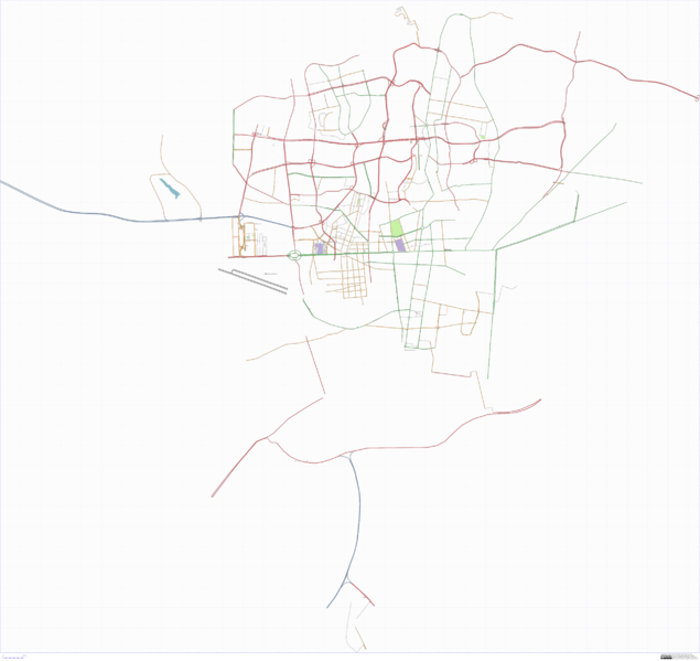
Size of this preview: 635 × 599 pixels. Other resolutions: 254 × 240 pixels | 509 × 480 pixels | 814 × 768 pixels | 1,085 × 1,024 pixels | 2,553 × 2,409 pixels.
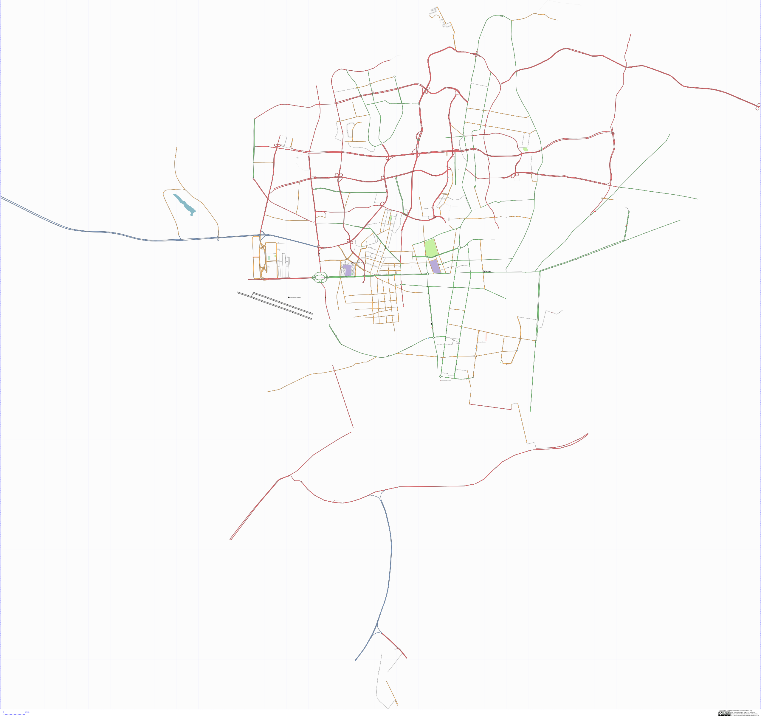
Original file (2,553 × 2,409 pixels, file size: 587 KB, MIME type: image/png)
Tehran map (going down as far as Behesht Zahra, as of 2007-03-17, rendered using osmarender with osm-svg-beautifier, converted to PNG with inkscape (60dpi).
![]()
Contains map data © OpenStreetMap contributors, made available under the terms of the Creative Commons Attribution-ShareAlike 2.0 (CC-BY-SA-2.0).
File history
Click on a date/time to view the file as it appeared at that time.
| Date/Time | Thumbnail | Dimensions | User | Comment | |
|---|---|---|---|---|---|
| current | 13:19, 18 March 2007 | | 2,553 × 2,409 (587 KB) | Roozbeh (talk | contribs) | Replacing with a 60dpi version to reduce size |
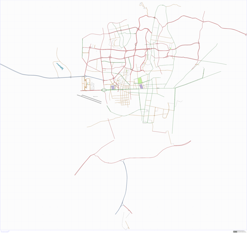
| 17:29, 17 March 2007 | 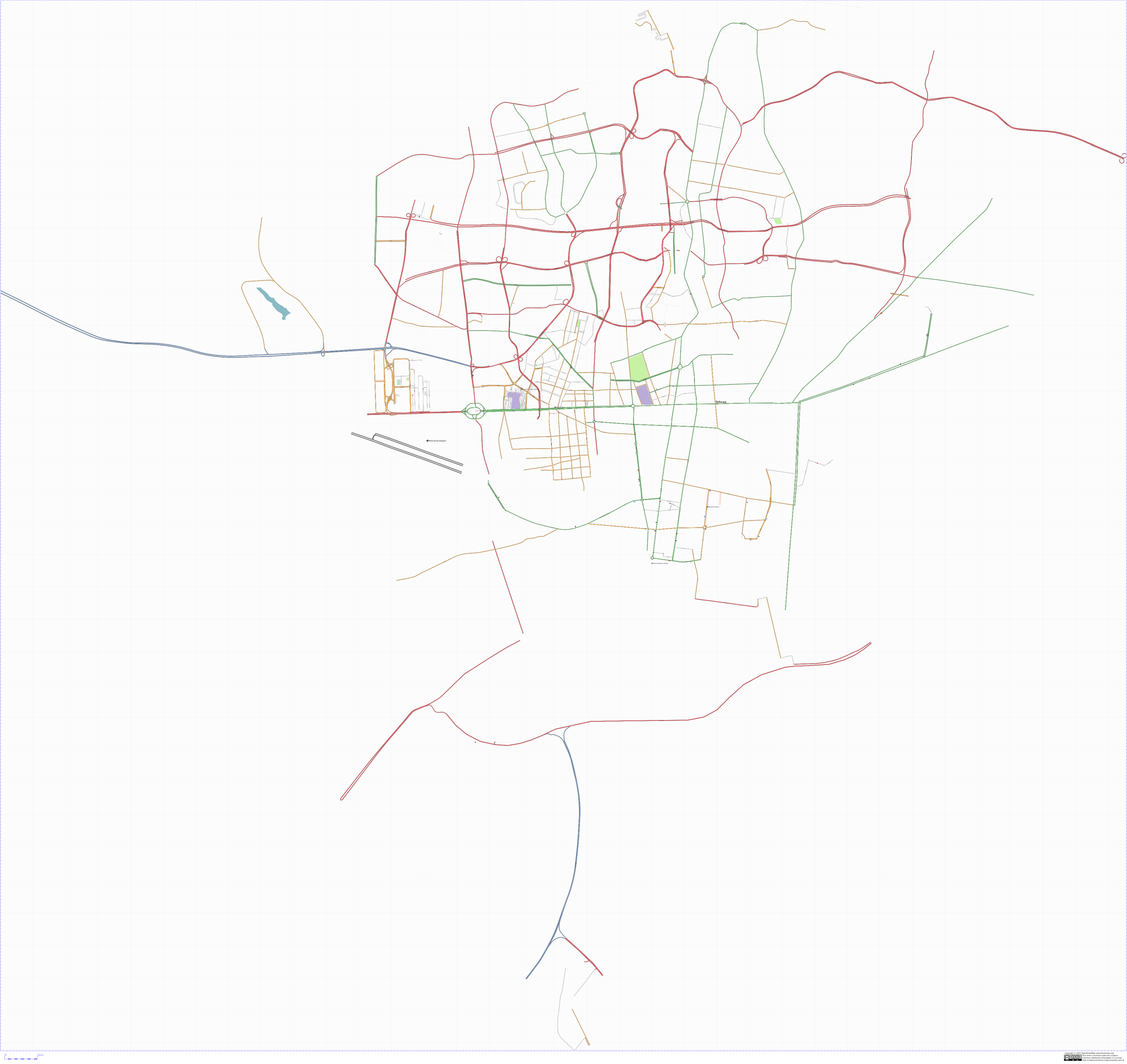 | 3,829 × 3,613 (1.04 MB) | Roozbeh (talk | contribs) | Tehran map (going down as far as Behesht Zahra, as of 2007-03-17, rendered using osmarender osm-svg-beautifier. |
You cannot overwrite this file.
File usage
There are no pages that use this file.