File:TgMures.gif
Jump to navigation
Jump to search

Size of this preview: 652 × 600 pixels. Other resolutions: 261 × 240 pixels | 522 × 480 pixels | 835 × 768 pixels | 1,200 × 1,104 pixels.
Original file (1,200 × 1,104 pixels, file size: 1.19 MB, MIME type: image/gif, looped, 13 frames, 7.0 s)
Note: Due to technical limitations, thumbnails of high resolution GIF images such as this one will not be animated.
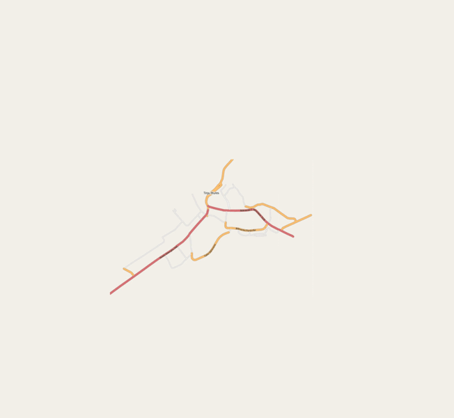
Evolutie harta Targu Mures din 2006 pina in februarie 2009
Licensing
![]()
![]()
![]()
This screenshot contains OpenStreetMap Carto rendering.
The OpenStreetMap Carto map style is made available under the Creative Commons CC-0 1.0 Universal Public Domain Dedication.
- Attribution to the map data:
![]()
Contains map data © OpenStreetMap contributors, made available under the terms of the Creative Commons Attribution-ShareAlike 2.0 (CC-BY-SA-2.0).
File history
Click on a date/time to view the file as it appeared at that time.
| Date/Time | Thumbnail | Dimensions | User | Comment | |
|---|---|---|---|---|---|
| current | 14:22, 17 February 2009 | | 1,200 × 1,104 (1.19 MB) | GChris (talk | contribs) | |
| 14:09, 17 February 2009 |  | 970 × 892 (838 KB) | GChris (talk | contribs) | Evolutie harta Targu Mures din 2006 pina in februarie 2009 |
You cannot overwrite this file.
File usage
The following page uses this file: