File:Thorpe park leeds gps trace.png
Jump to navigation
Jump to search

No higher resolution available.
Thorpe_park_leeds_gps_trace.png (420 × 420 pixels, file size: 4 KB, MIME type: image/png)
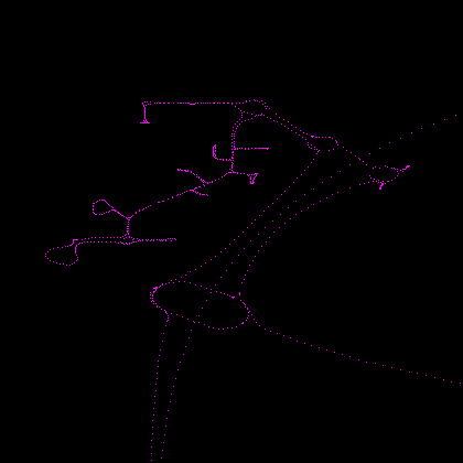
Close up of the GPS traces for Thorpe Park (a business park) near Colton, Leeds.
File history
Click on a date/time to view the file as it appeared at that time.
| Date/Time | Thumbnail | Dimensions | User | Comment | |
|---|---|---|---|---|---|
| current | 08:01, 17 September 2007 | | 420 × 420 (4 KB) | Jacurutu (talk | contribs) | Close up of the GPS traces for Thorpe Park (a business park) near Colton, Leeds. |
You cannot overwrite this file.
File usage
The following 2 pages use this file: