File:Tiefbrunnen.jpg
Jump to navigation
Jump to search


Size of this preview: 800 × 439 pixels. Other resolutions: 320 × 175 pixels | 640 × 351 pixels | 1,024 × 561 pixels | 1,280 × 702 pixels | 2,444 × 1,340 pixels.
Original file (2,444 × 1,340 pixels, file size: 1.54 MB, MIME type: image/jpeg)
This file and its description are from Wikimedia Commons.
Summary
| Description |
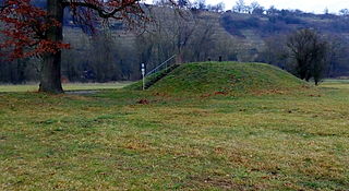
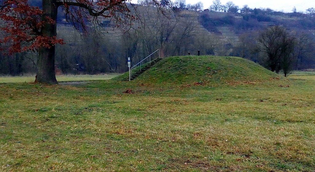
Deutsch: Tiefbrunnen auf einem Hügel. Das Betreten dieser wasserwirtschaftlichen Anlage ist laut Schild verboten. Der Brunnen wird von der Besigheimer Wasserversorgungsgruppe betrieben und befindet sich nördlich von Unterriexingen |
| Date | |
| Source | http://wiki.openstreetmap.org/wiki/File:Tiefbrunnen.jpg |
| Author | User:Yokr |
| Camera location | | View this and other nearby images on: OpenStreetMap |
|---|
Licensing
| This work has been released into the public domain by its author, User:Yokr. This applies worldwide. In some countries this may not be legally possible; if so: User:Yokr grants anyone the right to use this work for any purpose, without any conditions, unless such conditions are required by law.
|
This file, which was originally posted to
http://wiki.openstreetmap.org/wiki/File:Tiefbrunnen.jpg, was reviewed on 19 December 2015 by reviewer -revi, who confirmed that it was available there under the stated license on that date.
|
File history
Click on a date/time to view the file as it appeared at that time.
| Date/Time | Thumbnail | Dimensions | User | Comment | |
|---|---|---|---|---|---|
| current | 22:41, 11 December 2015 | | 2,444 × 1,340 (1.54 MB) | wikimediacommons>Reneman | {{Information |Description ={{de|1=Tiefbrunnen auf einem Hügel. Das Betreten dieser wasserwirtschaftlichen Anlage ist laut Schild verboten. Der Brunnen wird von der Besigheimer Wasserversorgungsgruppe betrieben und befindet sich nördlich von Unter... |