File:Torbat Map01.jpg
Jump to navigation
Jump to search
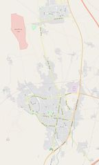
Size of this preview: 360 × 598 pixels. Other resolutions: 144 × 240 pixels | 289 × 480 pixels | 1,012 × 1,682 pixels.
Original file (1,012 × 1,682 pixels, file size: 203 KB, MIME type: image/jpeg)
Summary
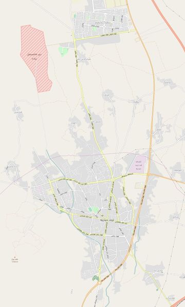
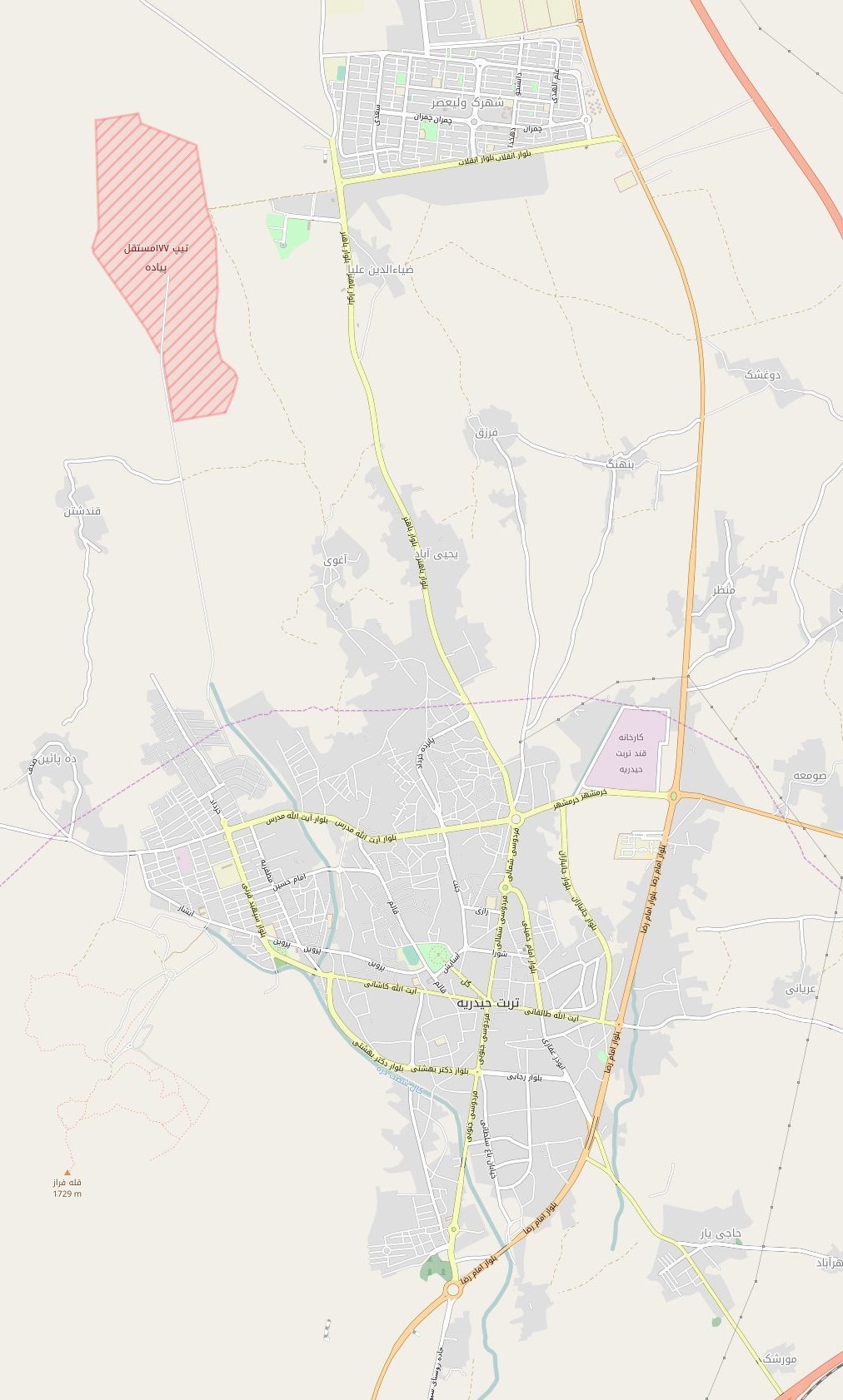
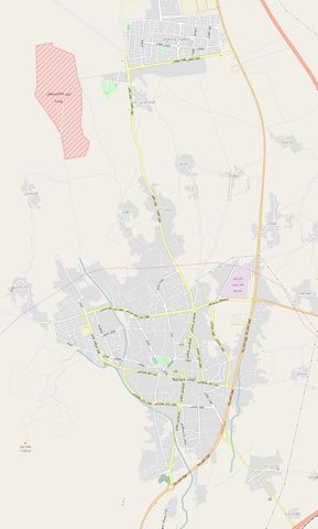
Mapping state of inner streets of Torbat Heydarieh in December 2016
Licensing
| Contains map data © OpenStreetMap contributors, made available under the terms of the Open Database License (ODbL).
The ODbL does not require any particular license for maps produced from ODbL data, produced maps may be subject also to other licences. |
File history
Click on a date/time to view the file as it appeared at that time.
| Date/Time | Thumbnail | Dimensions | User | Comment | |
|---|---|---|---|---|---|
| current | 20:47, 12 December 2016 | | 1,012 × 1,682 (203 KB) | Kesler (talk | contribs) | Mapping state of inner streets of Torbat Heydarieh in December 2016 |
You cannot overwrite this file.
File usage
The following page uses this file: